
District Jhapa Elevation 142 m Local time Saturday 2:56 AM | Zone Mechi Time zone Nepal Time (UTC+5:45) Population 21,366 (1991) | |
 | ||
Weather 18°C, Wind NE at 2 km/h, 62% Humidity | ||
Kakarbhitta (often written and pronounced Kankadbhitta or Kakarvitta) is a neighbourhood in Mechinagar Municipality in Jhapa District of Mechi Zone, southeastern Nepal.
Contents
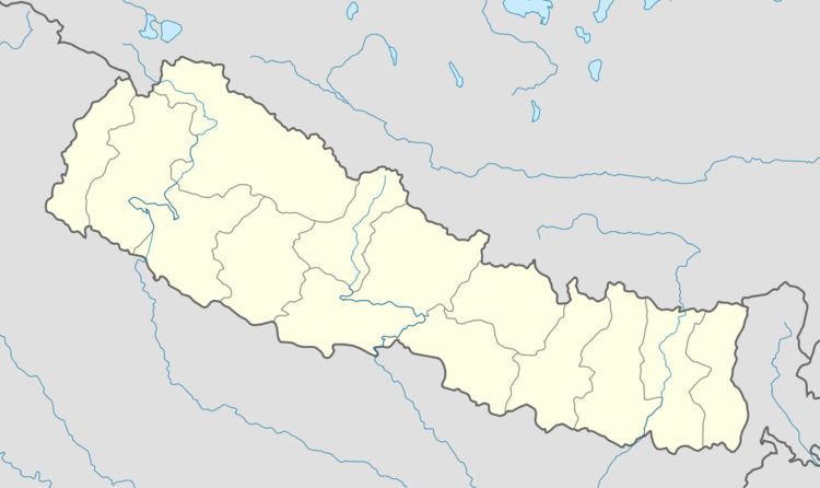
Map of Kakarbhitta, Mechinagar, Nepal
Demographics
At the time of the 1991 Nepal census, Mechinagar had a population of 21,366 people living in 4147 individual households.
Transport
Kakarbhitta is the eastern terminus of Nepal's east-west Mahendra Highway at the country's eastern border with Darjeeling District, West Bengal state, India. The Panitanki neighborhood of Naxalbari is on the other side. There is a border checkpoint for customs and third country nationals. Indian and Nepalese nationals cross without restriction.
Traffic between Nepal, India and Bangladesh goes through Kakarbhitta.
References
Kakarbhitta Wikipedia(Text) CC BY-SA