
Area 89,803 km² | Time zone AEST (UTC+10) Largest city Arawa | |
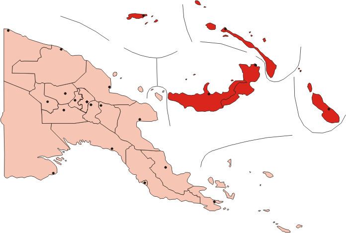 | ||
The Islands Region is one of four regions of Papua New Guinea (PNG) comprising the Bismarck Archipelago and north-eastern Solomon Islands Archipelago, located north-east of the mainland on eastern New Guinea island.
Contents
Map of Islands Region, Papua New Guinea
This is the least densely inhabited region of the country with a population of 750,000 (14% of PNG).
It is distinct through its prehistory and history, as shown by the prevalence of Austronesian languages, and archeological findings of Lapita pottery culture.
Subdivision
The Region is administratively divided into five provinces:
References
Islands Region Wikipedia(Text) CC BY-SA