
Population Uninhabited | ||
 | ||
Area 80.763 km (31.183 sq mi) | ||
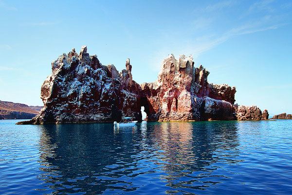
Isla Espíritu Santo is an island in the Gulf of California, off the Mexican state of Baja California Sur. It is separated from Isla Partida by a narrow canal.
Contents
Map of Isla del Espiritu Santo, Baja California Sur, Mexico
It has a land area of 80.763 square kilometres (31.183 sq mi), the 12th-largest island in Mexico. Isla Partida's land area is 15.495 square kilometres (5.983 sq mi). They are part of La Paz Municipality and are both a short boat trip from La Paz on the Baja California Peninsula.
BiosphereEdit
The area is protected as part of the Área de Protección de Flora y Fauna - Islas del Golfo de California (APFF-IGC), and is an important eco-tourism destination. It was declared part of a Biosphere Reserve by UNESCO in 1995. Espíritu Santo is the only known habitat of the black jackrabbit. The islands are both uninhabited. Ensenada Grande beach, on Isla Partida, was voted the most beautiful beach in Mexico by The Travel Magazine and one of the top 12 beaches in the world. Sea kayaking is a popular activity around the island.
The surrounding reefs are home to parrotfish, angelfish, trumpetfish, Moorish idols, and rainbow wrasse, while many other species pass nearby including sharks, rays, turtles, dolphins, and even whales. Birds include brown pelicans, great blue herons, snowy egrets, turkey vultures, and hummingbirds. A large sea lion colony resides on Los Islotes, off the north tip of the islands; snorkeling with the females and young is a highlight of many tours.