Governing body U.S. Forest Service Established 1984 | Nearest city Fremont | |
 | ||
Area 16,277 acres (65.87 km) Management United States Forest Service | ||
Irish wilderness trip video
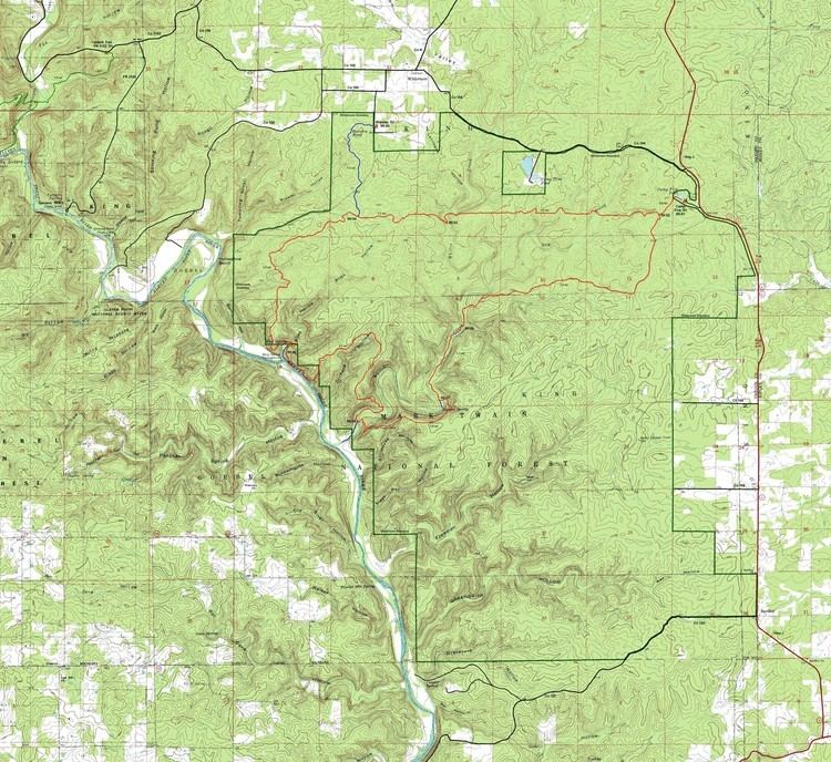
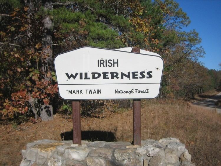
The Irish Wilderness is a 16,227-acre (66 km2) wilderness area in the U.S. State of Missouri. The U.S. Congress designated it a wilderness in 1984. The Irish Wilderness is located within the Eleven Point Ranger District of the Mark Twain National Forest, 10 miles (16 km) northeast of Alton, Missouri. It was named after an Irish Catholic Priest, John Joseph Hogan, founded a settlement of about forty Irish families here starting in 1858; the settlement was wiped out during the American Civil War and has remained a wilderness ever since. The Irish Wilderness is one of eight wilderness areas protected and preserved in Missouri.
Contents
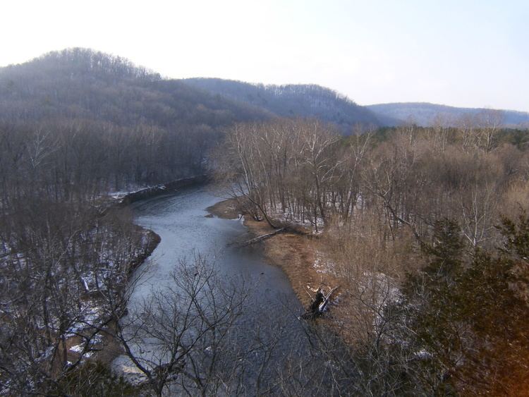
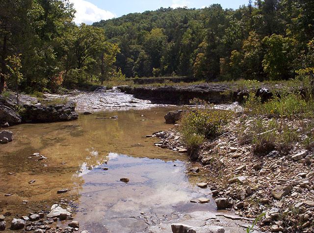
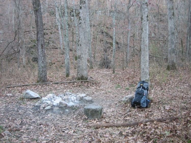
Hiking and horseback riding are popular on the White's Creek Trail, an 18.6 miles trail throughout the wilderness. Attractions include White's Creek Cave (temporarily gated to protect endangered bats), Fiddler and Bliss Springs, traces of old tramway railroads, and overlooks of the Eleven Point River. The karst topography of the area creates very scenic views along this trail. Wildlife present include black bear, mountain lion, whitetail deer, timber rattlesnakes, turkey, and bald eagles.
Mystery of the irish wilderness