
Length 222 km | Source Ozarks | |
 | ||
- left Spring Creek, Hurricane Creek Cities Pocahontas, Willow Springs, Black Rock | ||
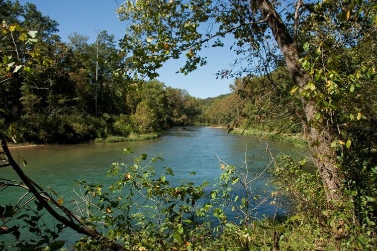
The Eleven Point River is a 138-mile-long (222 km) river in southern Missouri and northern Arkansas, United States. It originates near Willow Springs, Missouri. It more than doubles in flow when Greer Spring Branch runs into it, adding over 200 million US gallons (760,000 m3) of water per day to the river. The name derives from the Mississippi Valley French word pointe, which is a wooded point of land marking a river bend. Voyageurs marked distance by counting these points of land or river bends. The river flows into the Spring River southwest of Pocahontas near the small town of Black Rock.
Map of Eleven Point River, United States
In 1968 a 44.4-mile (71.5 km) stretch was named the Eleven Point National Wild and Scenic River, one of the original eight rivers chosen to be part of the United States National Wild and Scenic Rivers System.