
OS grid reference NH521237 Sovereign state United Kingdom Postcode district IV2 6 Local time Tuesday 10:58 PM | Council area Highland | |
 | ||
Weather 6°C, Wind W at 34 km/h, 79% Humidity | ||
Inverfarigaig (Scottish Gaelic: Inbhir Farragaig) is a hamlet at the mouth of the River Farigaig, on the south-east shore of Loch Ness in Inverness-shire, Scottish Highlands and is in the Scottish council area of Highland.
Contents
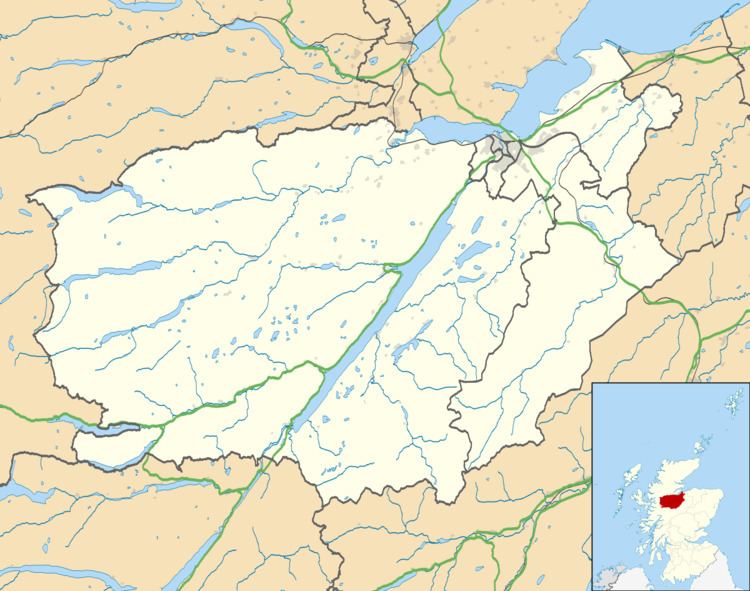
Map of Inverfarigaig, Inverness, UK
The hamlet is situated on the B852, part of the Military Road built by General George Wade, 12 miles (19 km) north-east of Fort Augustus. The village of Foyers is located 2 miles (3 km) to the south-west and the village of Dores 8 miles (13 km) to the north-east.
The villages of Bunloit and Balbeg are directly across Loch Ness, and the town of Drumnadrochit is close to them.
The prominent peak of Meall Fuar-mhonaidh is also visible across the loch.
Iron Age Fort
Above Inverfarigaig is the Iron Age fort of Dun Deardail (Scottish Gaelic: Dùn Deardail, meaning Deirdre's Fort). It is situated 925 ft (282 m) above sea level and is associated with the legend of Deirdre of the Sorrows. Deirdre and the three sons of Usnach were meant to have lived near the fort for some of the time they stayed in Scotland.
The fort was built by the Celts some time around 700BC and has been found to be partly vitrified.