
Length 401 km | ||
 | ||
Counties | ||
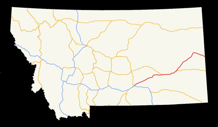
Interstate 94 in Montana (I-94) is a portion of the east–west Interstate 94, which links Billings, Montana to the Canada–US border in Port Huron, Michigan. The portion in the US state of Montana is 249.15 miles (400.97 km) linking seven counties through central Montana.
Contents
The speed limit has been at 80 miles per hour (130 km/h) since January 2016, except 65 miles per hour (105 km/h) near Billings.
Yellowstone County
Interstate 94 starts in Yellowstone County in Billings at Interstate 90, and travels northeast to the towns of Huntley, Ballantine, Pompeys Pillar and Custer.
Treasure, Rosebud and Custer Counties
Entering Treasure County, I-94 passes near the small towns of Bighorn and Hysham; there is a little Ranch Access at mile marker (63.01). After entering Treasure County, the next county is Rosebud County, about 15 miles east, there are two intersections of U.S. 12 and MT 59 before entering Forsyth, after that is Custer County which is the east end of U.S. 12 after crossing the city of Miles City.
Prairie, Dawson and Wibaux Counties
After entrering Prairie after passing the small towns of Terry and Fallon, the next county is Dawson County, entering the cities of Glendive which connects with MT 16 and entering the city of Wilbaux before entering the North Dakota state line.