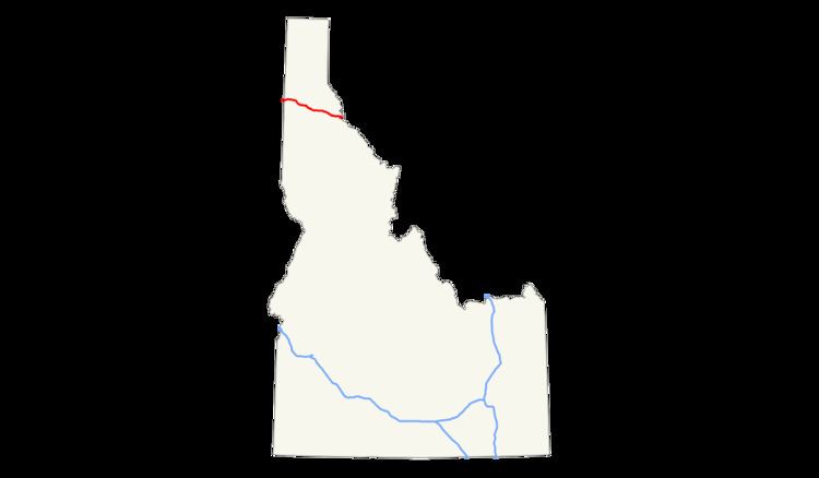
Length 118.9 km | ||
 | ||
East end: I‑90 at the Montana state line | ||
In the U.S. state of Idaho, Interstate 90 has a 74-mile-long (119 km) routing in the panhandle. Traveling east from Spokane, Washington, I-90 passes through Post Falls and Coeur d'Alene, over Fourth of July Summit, and through the Silver Valley before entering Montana at Lookout Pass.
Contents
Map of I-90, United States
I-90 is a major east-west freeway route in northern Idaho. I-90 is the third longest stretch of Interstate highway in Idaho. Interstate 84 and Interstate 15 are longer. Interstate 86 and Interstate 184 are shorter. I-90 is the only coast-to-coast Interstate in Idaho.
Route description
Interstate 90 enters Idaho and Kootenai County just east of the Spokane River bridge near the community of State Line, the smallest city in Idaho. It proceeds east through Post Falls to Coeur d'Alene, the county seat, and meets U.S. Route 95. I-90 turns southeast and passes north of downtown, which is accessible via an Interstate Business Loop, and Lake Coeur d'Alene. It continues east-southeast to Fourth of July Summit at an elevation of 3,081 feet (939 m) and down to Cataldo, home to the Old Cataldo Mission built 164 years ago in 1853.
Shortly after leaving Cataldo, I-90 enters Shoshone County and passes through or near the communities of Pinehurst, Kellogg, Osburn, Wallace, and Mullan. I-90 leaves the county and state at Lookout Pass at 4,725 feet (1,440 m)) and enters Montana.
History
Interstate 90 through Idaho was formerly U.S. Route 10, though some parts of I-90 were cut as new roadway. The small town of Wallace in the Silver Valley still prides itself on having what was the last stoplight on I-90. Its downtown has many historical buildings, which would have been wiped out by the original planned route of the freeway, so in 1976, city leaders had the downtown placed on the National Register of Historic Places. Alternatives discussed in 1963 included tunnels and twin levels.
As a result, the federal government was forced at great expense to reroute the freeway to the northern edge of downtown and elevate it. Work on that section was resumed in 1984, and it opened in September 1991. A bicycle path is routed beneath part of that segment. Before the move to the viaduct, I-90 went from a freeway at the western edge of Wallace, then turned to surface streets and followed the main arterial as U.S. Route 10 through town, which included the last stoplight on I-90 between Seattle and Boston. Upon reaching the eastern edge of the town it became a limited access divided highway once again.
The interstate also was routed along Lake Coeur d'Alene as a surface street before the Veterans Memorial Centennial Bridge was completed in the heights above the lake.
