
Existed: 1956 – present Constructed 1956 | Length 682.6 km | |
 | ||
East end: I-70 / US 24 / US 40 / US 169 at Missouri state line | ||
In the U.S. state of Kansas, Interstate 70 contains the first segment to start being paved and to be completed in the Interstate Highway System. It extends from the Colorado border near the town of Kanorado to the Missouri border in Kansas City. The route covers 424 miles (682 km) and passes through several of the state's principal cities in the process including Kansas City, Topeka, and Salina. The route also passes through the cities of Lawrence, Junction City, and Abilene.
Contents
Route description
I-70 is concurrent with US-24 from the Colorado state line until US-24 splits at Levant and runs north of I-70. At Colby, I-70 begins to turn southeast until it reaches Oakley, where US-40 joins with I-70 for a concurrent journey through most of the state. The route remains flat until it reaches the county line between Russell and Ellsworth counties, where the road begins to travese rolling hills.
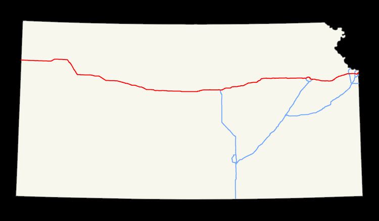
At Salina, Interstate 135 begins its journey southward toward Wichita, and I-70 continues through Abilene and Junction City, where the road begins to run through the Flint Hills.
In Topeka, I-70 intersects a child route, I-470, twice. The second time it is intersected, the Kansas Turnpike merges, making I-70 into a toll road. This is one of only two sections of I-70 that are tolled (the other is along the Pennsylvania Turnpike), with the maximum toll distance costing $17.50 as of 2016. I-70 carries this designation from Topeka to Bonner Springs. It is the eastern terminus of the turnpike, and from there to 18th Street and extending on to the Kansas eastern border, the highway is free.
I-70 enters Missouri via a main northern route on the Lewis and Clark Viaduct above the confluence of the Kansas River and Missouri River and a route designated "Alternate I-70" which has signs for I-70 as well as Interstate 670 just south of Kansas City main downtown area.
From Exit 275 at Abilene to the Missouri state line, the road is named the Dwight D. Eisenhower-Harry S. Truman Presidential Highway. It retains the designation until Exit 16 in Missouri at Independence, the location of Truman's presidential library.
History
The section of I-70 that is now the Kansas Turnpike was finished by 1956 and opened to traffic. West of Topeka, the freeway was constructed from Topeka west to Salina at its junction with U.S. Route 81, as well as from Ogallah to Grainfield. From Salina, the freeway was completed through Wilson the next year. A segment of I-70 from Levant through Ogallah was finished by 1965. Another section was built the following year connecting Wilson to Grainfield. The freeway was completed through Kansas with a last section near the Colorado border in 1970.
Exit list
Exit numbers correspond to the mileposts where they're located (numbered east from the Colorado border), except for those at miles 381, 386, 388, 396, and 408, which are part of the Kansas Turnpike and use its mileposts (numbered north from the Oklahoma border) instead.
Auxiliary routes
I-70 has two auxiliary routes in Kansas: