
County Trego FIPS code 20-52250 Elevation 698 m Population 214 (2000) Area code 785 | Time zone Central (CST) (UTC-6) GNIS feature ID 0485296 Zip code 67656 Local time Wednesday 8:23 PM | |
 | ||
Weather 11°C, Wind SE at 24 km/h, 56% Humidity Area 372.7 km² (372.4 km² Land / 26 ha Water) | ||
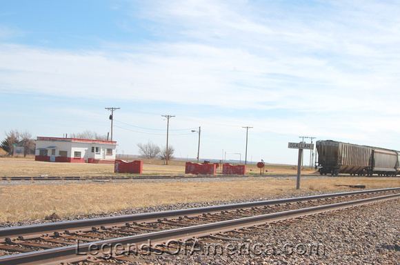
Ogallah is an unincorporated community in Trego County, Kansas, United States.
Contents
Map of Ogallah, KS 67656, USA
History
Ogallah was named for the Oglala Lakota tribe.
The post office was established January 27, 1879.
Climate
The climate in this area is characterized by hot, humid summers and generally mild to cool winters. According to the Köppen Climate Classification system, Ogallah has a humid subtropical climate, abbreviated "Cfa" on climate maps.
References
Ogallah, Kansas Wikipedia(Text) CC BY-SA