
Existed: 1957 – present Length 743.7 km | US 85 NM 88 → Constructed 1957 | |
 | ||
Counties Doña Ana County, New Mexico | ||
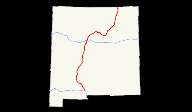
In the U.S. state of New Mexico, Interstate 25 (I-25) follows the north–south corridor through Albuquerque and Santa Fe. It replaced U.S. Route 85, which is no longer signed, but still exists in route logs sharing the I-25 alignment. I-25 starts in New Mexico at an interchange with I-10 in Las Cruces and extends roughly 460 miles before reaching Colorado. I-25 passes through principally rural land through central New Mexico and passes through or near the cities of Las Cruces, Truth or Consequences, Socorro, Belen, Albuquerque, Santa Fe, Las Vegas, and Raton.
Route description
Interstate 25 begins at Interstate 10's exit 144 in Las Cruces (elevation 4,000 feet (1,200 m)), just south of the New Mexico State University campus. I-25 is concurrent with U.S. Route 85 at this point, and carries the US 85 concurrency for the remainder of its run in New Mexico. Immediately, the Interstate passes east of the New Mexico State campus, and the next three exits provide access to the city. The first exit is University Avenue, which provides access to NMSU. The final exit in Las Cruces is U.S. Route 70. Upon exiting the city the speed limit increases by ten miles per hour to 75 mph. Before I-25 reaches Truth or Consequences and just south of Elephant Butte Reservoir State Park it crosses over to the west side of the Rio Grande. From Las Cruces to Santa Fe I-25 follows the route of El Camino Real de Tierra Adentro.
South of Albuquerque near Socorro it passes through the Bosque del Apache National Wildlife Refuge. As I-25 nears Albuquerque, it has interchanges with roads such as U.S. Route 380 and a concurrency with U.S. Route 60. State Road 6, the original U.S. Route 66, meets up with I-25 in Los Lunas. Just to the south of Albuquerque I-25 enters Isleta Pueblo where it crosses back to the east side of the Rio Grande.
The speed limit on I-25 in Albuquerque is 65 mph (105 km/h), except for one 1.5 mile 55 mph (89 km/h) section between Gibson Boulevard and Central Avenue. Through Albuquerque I-25 is named the Pan American Freeway and there are frequent exits to city streets. A major interchange with Interstate 40 (which is styled as the Coronado Freeway in the city) is named the Big I. It was given an honorable mention by the United States Department of Transportation and the Federal Highway Administration for excellence in urban highway design in 2002.
Leaving Albuquerque, the 75 mph (121 km/h) speed limit resumes as the freeway passes through Sandia Pueblo. After Bernalillo, I-25 passes through four more Indian Reservations (from south to north the Pueblos of Santa Ana, San Felipe, Kewa and Cochiti. I-25 turns to the northeast and away from the Rio Grande, alongside which it has run from its southern terminus, as it heads toward Santa Fe. 11 mi (18 km) southwest of Santa Fe it climbs out of the Rio Grande Valley at a steep hill called La Bajada.
Continuing 'northbound' at Santa Fe, I-25 heads southeast for approximately 45 miles (72 km) traveling through the Santa Fe National Forest and crossing Glorieta Pass (7,452 feet (2,271 m)). It turns north again at Blanchard toward Las Vegas. The highway maintains a north and northeast orientation as it leaves New Mexico traversing Raton Pass (7,798 feet (2,377 m)) and enters Colorado. The speed limit through Raton Pass is 65 mph (105 km/h). From Santa Fe to Raton Pass I-25 approximates part of the route of the Santa Fe Trail. I-25 is 462.124 miles long in New Mexico.