
Area 6,307 km² Established July 1, 1915 | Governing body U.S. Forest Service Phone +1 505-438-5300 | |
 | ||
Address 11 Forest Ln, Santa Fe, NM 87508, USA Hours Closed now Tuesday8AM–4:30PMWednesday8AM–4:30PMThursday8AM–4:30PMFriday8AM–4:30PMSaturdayClosedSundayClosedMonday8AM–4:30PMSuggest an edit Profiles | ||
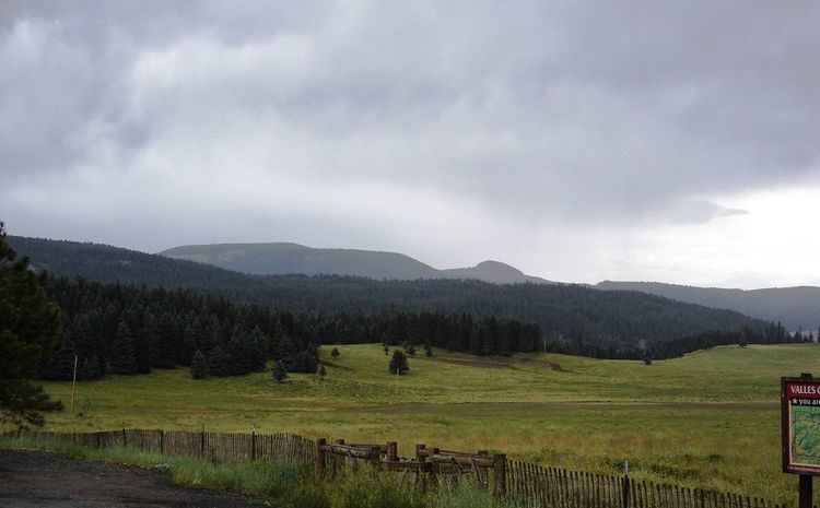
Santa fe national forest scenic byway
The Santa Fe National Forest is a protected national forest in northern New Mexico in the Southwestern United States. It was established in 1915 and covers 1,558,452 acres (6,306.83 km2). Elevations range from 5,300 feet (1600 m) to 13,103 feet (4000 m) at the summit of Truchas Peak, located within the Pecos Wilderness. The Jemez, Coyote, and Cuba districts are located in the Jemez Mountains; the Pecos/Las Vegas district is located in the Sangre de Cristo Mountains; and the Española district is located in both mountain ranges. In descending order of land area the forest lies in parts of Rio Arriba, San Miguel, Sandoval, Santa Fe, Mora, and Los Alamos counties. Forest headquarters are located in the city of Santa Fe.
Contents
- Santa fe national forest scenic byway
- Santa fe national forest new mexico
- Coyote Ranger District
- Cuba Ranger District
- Espaola Ranger District
- Jemez Ranger District
- PecosLas Vegas Ranger District
- References
Santa Fe National Forest was established on July 1, 1915 by the U.S. Forest Service with the amalgamation of Jemez National Forest to the west of Santa Fe and Pecos National Forest to the east. The former division is remembered in the ranger districts, with the Jemez Ranger District to the west and the Pecos/Las Vegas district to the east. The western districts enclose the Valles Caldera National Preserve, which is administered by Santa Fe from the Jemez district office.
Bandelier National Monument was created from a portion of Santa Fe in 1916.
Santa fe national forest new mexico
Coyote Ranger District
The Coyote Ranger District is the northernmost district of the Santa Fe National Forest and covers 265,100 acres (1073 km²). It includes the Rio Chama and most of the Chama River Canyon Wilderness (with a small part extending into neighboring Carson National Forest), as well as the northern portion of the San Pedro Parks Wilderness. The district office is in the town of Coyote.
Cuba Ranger District
The Cuba Ranger District is in the westernmost district of the Santa Fe National Forest and is home to the San Pedro Parks Wilderness. The district includes the southern portion of the San Pedro Parks Wilderness. Its district office is in Cuba.
Española Ranger District
The Española Ranger District extends from the foothills of Santa Fe, New Mexico to the Pecos Wilderness and borders the towns of Española, New Mexico and Los Alamos, New Mexico.
Santa Fe National Forest near Los Alamos is the location of an orienteering map.
Jemez Ranger District
The Jemez Ranger District was established in 1905 as the Jemez Forest Reserve. A number of hot springs and the Jemez Soda Dam on the Jemez River are among the attractions, along with the Dome Wilderness, which lies just west of Bandelier National Monument. The district office is in Jemez Springs.
Pecos/Las Vegas Ranger District
The Pecos/Las Vegas Ranger District was established in 1892 as the Pecos River Forest Reserve. The easternmost element of Santa Fe National Forest includes the Pecos River lying within the Pecos Wilderness, which also extends into neighboring Carson National Forest. Its offices are in Pecos and Las Vegas.