
Country United States Elevation 623 ft (190 m) Zip code 48141 Population 24,857 (2013) | Settled 1835 Area 16.19 km² Local time Monday 3:29 AM | |
 | ||
Incorporation 1926 (village)1964 (city) Weather -4°C, Wind E at 13 km/h, 57% Humidity | ||
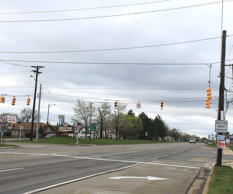
Inkster is a city in Wayne County, Michigan, United States. At the 2010 census, the city population was 25,369. It is one of the few Metro Detroit suburbs whose population is majority African American.
Contents
- Map of Inkster MI USA
- History
- Geography
- 2010 census
- 2000 census
- Government and infrastructure
- Notable people
- Education
- History of education
- References
Map of Inkster, MI, USA
History
The area was originally inhabited by Native Americans, but was settled by non-indigenous people in 1825. A post office named "Moulin Rouge" was established there in December 1857. Robert Inkster, a Scotsman born March 27, 1828, in Lerwick, Shetland, operated a steam sawmill on present-day Inkster Road near Michigan Avenue in the early 1860s.
The post office was renamed Inkster in July 1863. The village had a station on the Michigan Central Railroad by 1878. It incorporated as a village in 1926 from parts of Nankin Township and Dearborn Township. After much legal wrangling by the city of Dearborn, Dearborn Township, and the village of Inkster to sort out final borders for these communities, Inkster was incorporated as a city in 1964.
In the 1920s and 1930s, African-Americans working in Henry Ford's factories settled in Inkster because they didn't want to commute from Detroit and they weren't allowed to live in Dearborn.
As a result of the police beating of Floyd Dent in January, 2015, which was caught on a police vehicle's dash cam and released to the public, the victim was awarded $1.4 million. A special assessment of Inkster residents will pay for the settlement, on their July 1, 2015 property tax bill.
Geography
According to the United States Census Bureau, the city has a total area of 6.25 square miles (16.19 km2), all land.
2010 census
As of the census of 2010, there were 25,369 people, 9,821 households, and 6,175 families residing in the city. The population density was 4,059.0 inhabitants per square mile (1,567.2/km2). There were 11,647 housing units at an average density of 1,863.5 per square mile (719.5/km2). The racial makeup of the city was 73.2% African American, 20.5% White, 0.3% Native American, 1.6% Asian, 0.1% Pacific Islander, 0.7% from other races, and 3.6% from two or more races. Hispanic or Latino of any race were 2.6% of the population.
There were 9,821 households of which 35.5% had children under the age of 18 living with them, 25.7% were married couples living together, 30.0% had a female householder with no husband present, 7.1% had a male householder with no wife present, and 37.1% were non-families. 31.6% of all households were made up of individuals and 9.1% had someone living alone who was 65 years of age or older. The average household size was 2.56 and the average family size was 3.24.
The median age in the city was 34.2 years. 27.9% of residents were under the age of 18; 10.6% were between the ages of 18 and 24; 25.4% were from 25 to 44; 24.8% were from 45 to 64; and 11.3% were 65 years of age or older. The gender makeup of the city was 46.8% male and 53.2% female.
2000 census
At the 2000 census, there were 30,115 people, 11,169 households and 7,460 families residing in the city. The population density was 4,808.1 per square mile (1,857.4/km²). There were 12,013 housing units at an average density of 1,918.0 per square mile (740.9/km²). The racial makeup of the city was 67.51% African American, 28.7% White, 0.41% Native American, 3.42% Asian, 0.01% Pacific Islander, 0.74% from other races, and 2.76% from two or more races. Hispanic or Latino of any race were 1.60% of the population.
There were 11,169 households, of which 33.1% had children under the age of 18 living with them, 34.0% were married couples living together, 26.8% had a female householder with no husband present, and 33.2% were non-families. 27.9% of all households were made up of individuals and 9.2% had someone living alone who was 65 years of age or older. The average household size was 2.67 and the average family size was 3.26.
Age distribution was 29.8% under the age of 18, 9.2% from 18 to 24, 30.3% from 25 to 44, 19.8% from 45 to 64, and 10.8% who were 65 years of age or older. The median age was 32 years. For every 100 females there were 91.3 males. For every 100 females age 18 and over, there were 85.2 males.
The median household income was $35,950, and the median family income was $41,176. Males had a median income of $37,986 versus $26,567 for females. The per capita income for the city was $16,711. About 15.2% of families and 19.5% of the population were below the poverty line, including 28.8% of those under age 18 and 13.4% of those age 65 or over.
Government and infrastructure
The city had 63 police officers in 2010. In 2013 it had 25 police officers. Inkster Justice Center, which is to house the Inkster Police Department and the 22nd District Court, was scheduled to be opened in Spring 2014. Financed with bond funds, it had a cost of $7.7 million and had a shortfall of about $400,000 in the construction fund.
Notable people
Education
Portions of Inkster are within the Wayne-Westland Community Schools, Westwood Community Schools, Taylor School District, and the Romulus School District.
Westwood operates the Daly Elementary School and the Tomlinson Middle School in Inkster. Robichaud High School in Dearborn Heights is the district high school.
Wayne-Westland operates David Hicks Elementary School in Inkster. The portions of Inkster that are located in the Wayne-Westland district are zoned to Hicks. One portion of the Hicks zone is assigned to Marshall Upper Elementary School, Stevenson Middle School in Westland, John Glenn High School, all in Westland. Another portion of the Hicks zone is assigned to Adams Upper Elementary School in Westland, Franklin Middle School in Wayne, and Wayne Memorial High School in Wayne.
Portions of Inkster that had been in the Taylor School District prior to the dissolution of the Inkster School District are assigned to Taylor Parks Elementary School, Hoover Middle School, and Harry S. Truman High School in Taylor.
Romulus Senior High School is the Romulus district's secondary school.
Burger Baylor School for Students with Autism of the Garden City Public Schools is located in Inkster, in the former Baylor-Woodson Elementary School.
History of education
Previously most of Inkster was within the Inkster Public Schools district. As of summer 2013, the Inkster Public Schools District was entirely dissolved. The remaining students were split up among the Taylor, Romulus, Wayne-Westland and Westwood districts. Inkster High School, the high school of the Inkster district, closed in 2013. Areas were given to the new districts by quadrants. Students north of Michigan Avenue and west of Middlebelt were rezoned to Wayne-Westland. Students north of Michigan Avenue and east of Middlebelt were rezoned to Westwood. Students south of Michigan Avenue and west of Middlebelt were rezoned to Romulus. Students south of Michigan and east of Middlebelt were rezoned to Taylor.