
Length 69.2 km | ||
 | ||
Similar | ||
Beautiful aerial view of ingraham trail and tibbitt lake
Highway 4, known more commonly as the Ingraham Trail, extends from Yellowknife, Northwest Territories to Tibbitt Lake, approximately 70 km (43 mi) east of Yellowknife. It was built in the mid-1960s as the first leg of a 'road to resources' into the interior of the Arctic, stopping far short of its ultimate goal.
Contents
- Beautiful aerial view of ingraham trail and tibbitt lake
- Map of Ingraham Trail Yellowknife NT X1A 3T4 Canada
- Ice roads ingraham trail 2009
- Ingraham Trail details
- References
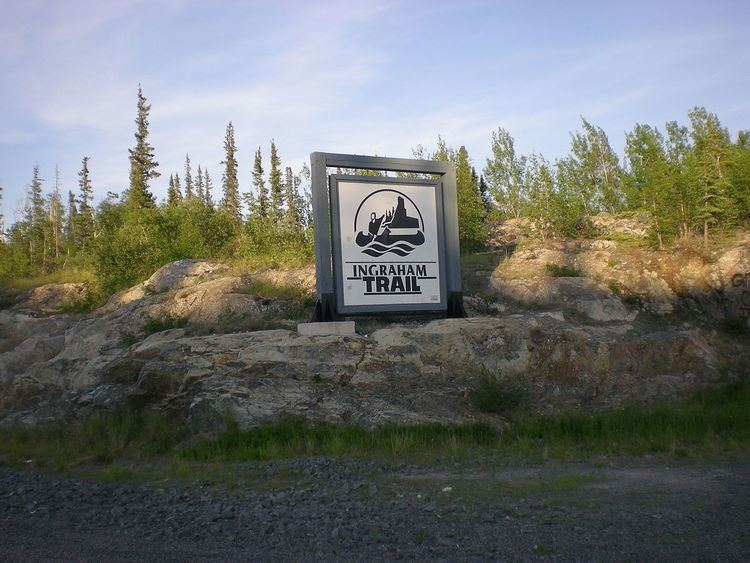
Map of Ingraham Trail, Yellowknife, NT X1A 3T4, Canada
The highway is designated as a northern/remote route of Canada's National Highway System.
Although the highway serves primarily recreational activities and area residences in this lake-dotted country it is, after the ice break-up on Great Slave Lake, the only access to Dettah from Yellowknife. The small Dene community is about 6.5 km (4.0 mi) from Yellowknife by ice road in winter or 27 km (17 mi) using the Ingraham Trail.
For about a month in late winter, a winter road to Lac de Gras is opened to trucking of mining supplies, the junction being along the Ingraham Trail. The road condition has suffered due to its frequent use by heavy trucks. This is shown on the first season of the American reality television series, Ice Road Truckers, which airs on History. The Tibbitt to Contwoyto Winter Road also extends from the end of the Ingraham Trail to Contwoyto Lake in Nunavut, forming Nunavut's only connection to the road network in the rest of Canada.
The Ingraham Trail is named after Vic Ingraham, a pioneer Yellowknife businessman of the 1930s–40s.
Ice roads ingraham trail 2009
Ingraham Trail details
Since January 2014, the road bypasses Giant Mine through a realignment that originates off Highway 3, approximately 2 km (1.2 mi) from the Old Airport turnoff. At 9.1 km (5.7 mi) the road crosses the Yellowknife River followed by the Dettah turnoff at 11.5 km (7.1 mi). After this the road passes several lakes including Prosperous (20.7 km (12.9 mi)), Pontoon (27.7 km (17.2 mi)) and Prelude (29.2 km (18.1 mi), which is followed by Cameron Falls (46.6 km (29.0 mi)). The road then passes Reid (58.9 km (36.6 mi)) and Hidden (60.5 km (37.6 mi)) before reaching Tibbitt Lake (68.7 km (42.7 mi)).
The trail, which was paved as far as Prelude Lake, was chipsealed to Reid Lake in the fall of 2009, leaving the last 10 km (6.2 mi) as gravel.
In 2014, Japanese tourist Atsumi Yoshikubo went missing during a visit to Yellowknife. She was last seen walking along the Ingraham between Niven and Jackfish lakes. After intense searches for a week, the Royal Canadian Mounted Police announced that information developed locally and in Japan suggested she had deliberately walked into the bush with the intention of ending her life.