
Country Canada Elevation 179 m Local time Tuesday 7:30 AM | Constituency Weledeh Time zone Mountain (MST) (UTC-7) Population 210 (2011) Area code 867 | |
 | ||
Weather -34°C, Wind SW at 10 km/h, 66% Humidity | ||
Dettah ice road yellowknife canada 2011
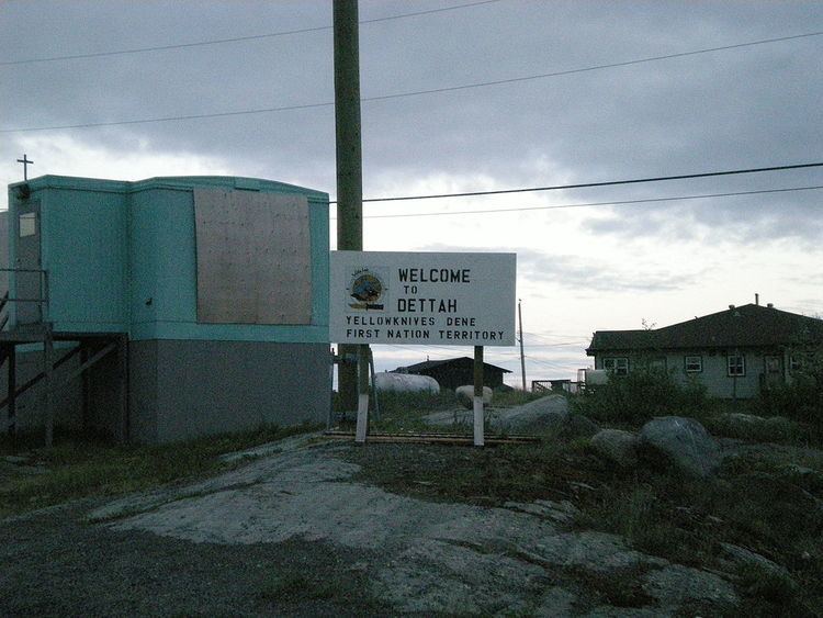
Dettah or Detah is a First Nations community in the North Slave Region of the Northwest Territories, Canada. Located just outside the capital of Yellowknife, it is a 6.5 km (4.0 mi) drive from that town by ice road in winter or a 27 km (17 mi) drive via the Ingraham Trail. The name means 'Burnt Point' in the Tli Cho language and refers to a traditional fishing camp used by the Dene for hundreds of years.
Contents
Map of Detah, NT, Canada
Demographics
According to the 2011 Census, Dettah had a population of 210 people a decrease of 15.0% from the 2006 Census, consisting almost entirely of First Nations. In 2012, the Government of the Northwest Territories reported that the population was 260 with an average yearly growth rate of 1.9% from 2001.
Both it and N'Dilo are the communities of the Yellowknives. Dettah is represented by the Yellowknives Dene First Nation (Dettah) and are part of the Akaitcho Territory Government.