
Length 271 km Basin area 3,462 km² | River mouth Loire Basin size 3,462 km (1,337 sq mi) Discharge 19 m³/s Source elevation 504 m Mouth Loire | |
 | ||
Main source Cher (dép.)504 m (1,654 ft) | ||
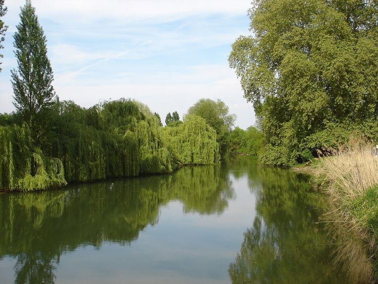
The Indre is a river in central France, left tributary to the river Loire.
Map of Indre, France
Its source is in the département Cher, near Préveranges. It flows through the départements Cher, Indre and Indre-et-Loire. It flows generally northwest, through the cities La Châtre, Châteauroux and Loches.
It joins the river Loire near the site of the nuclear power plant of Chinon, north of Avoine.
Its main tributary is the Indrois, which joins at Azay-sur-Indre.
Départements and towns along the river:
References
Indre (river) Wikipedia(Text) CC BY-SA