
Length 4.896 km | ||
 | ||
East end: SR 912 / US 12 in East Chicago | ||
State Road 312 in the U.S. state of Indiana is an east–west state highway in the northwestern part of the state.
Contents
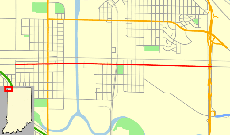
Map of IN-312, East Chicago, IN 46312, USA
Route description
SR 312 heads east from the Illinois state line, as a two-lane highway passing through residential properties. This section is concurrent with Gostlin Street in Hammond. The route turns due south onto Sheffield Avenue and has an at-grade crossing with four sets of Norfolk Southern railroad tracks. After the tracks the highway turns due onto Chicago Avenue and passes through residential properties as a two-lane urban roadway. At Calumet Avenue the roadway becomes a four-lane undivided highway passing through a mix of commercial and residential properties. The route passes under the Indiana Toll Road and enters a mostly commercial area, having an intersection with U.S. Route 20 (US 20). The highway crosses over the Indiana Ship Canal and passes between industrial properties. SR 312 eastern terminus is at an interchange with US 12 and SR 912. Chicago Avenue heads east of US 12 and SR 912 as a city street. The street passes through more industrial properties and ends at Industrial Highway, formerly US 12.
No part of SR 312 is included as a part of the National Highway System (NHS). The NHS is a network of highways that are identified as being most important for the economy, mobility and defense of the nation. The highway is maintained by the Indiana Department of Transportation (INDOT) like all other state roads in the state. The department tracks the traffic volumes along all state highways as a part of its maintenance responsibilities using a metric called average annual daily traffic (AADT). This measurement is a calculation of the traffic level along a segment of roadway for any average day of the year. In 2010, INDOT figured that lowest traffic levels were the 5,400 vehicles and 260 commercial vehicles used the highway daily on a section that is concurrent with Sheffield Avenue. The peak traffic volumes were 15,310 vehicles and 1,090 commercial vehicles AADT along a section of SR 312 between the Indiana Toll Road and US 20.
Major intersections
The entire route is in Lake County.