
Country United States Incorporated (Town) 1889 Local time Thursday 10:05 PM Population 29,212 (2013) | Incorporated (City) 1893 Zip code 46312 Area code 219 | |
 | ||
Weather 3°C, Wind N at 13 km/h, 59% Humidity | ||
Toxic levels of lead in soil of east chicago indiana
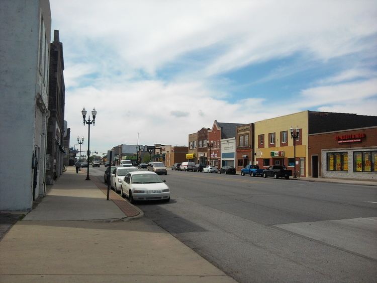
East Chicago is a city in Lake County, Indiana, United States. The population was 29,698 at the 2010 census. It is the home of Marktown, Clayton Mark's planned worker community.
Contents
- Toxic levels of lead in soil of east chicago indiana
- Map of East Chicago IN USA
- History
- Geography
- 2010 census
- 2000 census
- Transportation
- Bus transit
- Neighborhoods
- Education
- Industry
- References
Map of East Chicago, IN, USA
History
A post office called East Chicago has been in operation since 1889. The city was named from its location east of Chicago, Illinois.
The Indiana Harbor Public Library and Marktown Historic District are listed in the National Register of Historic Places.
Geography
According to the 2010 census, East Chicago has a total area of 16.155 square miles (41.84 km2), of which 14.09 square miles (36.49 km2) (or 87.22%) is land and 2.065 square miles (5.35 km2) (or 12.78%) is water.
2010 census
As of the census of 2010, there were 29,698 people, 10,724 households, and 7,197 families residing in the city. The population density was 2,107.7 inhabitants per square mile (813.8/km2). There were 12,958 housing units at an average density of 919.7 per square mile (355.1/km2). The racial makeup of the city was 42.9% African American, 35.5% White, 0.6% Native American, 0.1% Asian, 18.1% from other races, and 2.8% from two or more races. Hispanic or Latino of any race were 50.9% of the population.
There were 10,724 households of which 40.8% had children under the age of 18 living with them, 27.9% were married couples living together, 31.4% had a female householder with no husband present, 7.7% had a male householder with no wife present, and 32.9% were non-families. 29.0% of all households were made up of individuals and 9.5% had someone living alone who was 65 years of age or older. The average household size was 2.75 and the average family size was 3.42.
The median age in the city was 30.9 years. 31.4% of residents were under the age of 18; 9.7% were between the ages of 18 and 24; 25.4% were from 25 to 44; 22.2% were from 45 to 64; and 11.3% were 65 years of age or older. The gender makeup of the city was 46.8% male and 53.2% female.
2000 census
As of the census of 2000, there were 32,414 people, 11,707 households, and 7,937 families residing in the city. The population density was 2,706.3 people per square mile (1,044.7/km²). There were 13,261 housing units at an average density of 1,107.2 per square mile (427.4/km²). The racial makeup of the city was 36.54% White, 36.08% African American, 0.51% Native American, 0.20% Asian, 0.08% Pacific Islander, 23.98% from other races, and 2.60% from two or more races. Hispanic or Latino of any race were 51.61% of the population. Whites who are not Hispanic or Latino were 12.10% of the city's population. 54.3% spoke only English at home, while 42.9% Spanish and 1.2% Polish at home.
There were 11,707 households out of which 35.6% had children under the age of 18 living with them, 34.8% were married couples living together, 26.7% had a female householder with no husband present, and 32.2% were non-families. 28.6% of all households were made up of individuals and 11.2% had someone living alone who was 65 years of age or older. The average household size was 2.75 and the average family size was 3.41.
In the city, the population was spread out with 30.5% under the age of 18, 11.1% from 18 to 24, 26.8% from 25 to 44, 18.3% from 45 to 64, and 13.3% who were 65 years of age or older. The median age was 31 years. For every 100 females there were 91.7 males. For every 100 females age 18 and over, there were 86.1 males.
The median income for a household in the city was $26,538, and the median income for a family was $31,778. Males had a median income of $32,588 versus $21,678 for females. The per capita income for the city was $13,517. About 22.5% of families and 24.4% of the population were below the poverty line, including 33.3% of those under age 18 and 15.6% of those age 65 or over.
Transportation
The nearest commercial airport to East Chicago is the Gary/Chicago International Airport in neighboring Gary, but it does not have any scheduled passenger service. The closest commercial airport with scheduled passenger service is Chicago Midway Airport.
The South Shore Line (NICTD) has a station in East Chicago.
US 12 and US 20 go through the Indiana Harbor and East Chicago sections of the city, respectively, before joining up on both sides. Indiana State Road 912, the Cline Avenue Expressway, connects East Chicago with the Indiana Toll Road and Borman Expressway, and serves the casino and steel mills on the lakefront.
Bus transit
The city operates a free bus service known as East Chicago Transit. It features three routes: Route 1 Crosstown, Route 2 West Calumet, and Route 4 Woodmar Mall. GPRT Route 12 stops in East Chicago en route from Hammond to Gary. PACE operates Route 892, a special work shuttle between Gary, East Chicago and UPS' Hodgkins facility. Its schedule coincides with UPS workers' shifts. The route is operated in cooperation with UPS, which partially funds its operations.
Neighborhoods
Education
East Chicago Public Library System operates a main library at 2401 East Columbus Drive and the Robert A. Pastrick Branch Library at 1008 West Chicago Avenue at Baring Avenue. East Chicago also has two charter school options, East Chicago Urban Enterprise (K-8), and East Chicago Lighthouse Charter School (K-7).
Industry
East Chicago is home to the following business and industry:
For 105 years, East Chicago was home to the Inland Steel Company (1893-1998).
In 2009, parts of East Chicago were discovered to have toxic lead and arsenic contamination, designated the USS Lead Superfund Site. The Superfund site is divided into three zones, with public housing and residential properties. Residents' decades-long concerns about lead contamination were confirmed in 2016 via EPA testing, especially affecting over 270 families in the West Calumet Housing Complex. As Governor of Indiana, Vice-President Mike Pence declined to declare the Superfund site a state emergency; his successor Governor Eric Holcomb has issued Executive Order 17-13, declaring a disaster emergency in East Chicago.