
Area code(s) (+387) 51 Postal code 78234 | Time zone EET (UTC+2) Local time Saturday 8:15 AM Population 1,565 (1991) | |
 | ||
Weather -1°C, Wind N at 10 km/h, 89% Humidity | ||
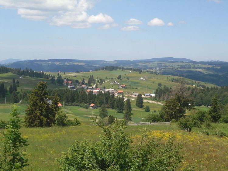
Imljani (Serbian Cyrillic: Имљани), is a village in Bosnia and Herzegovina, Entity of Republika Srpska, Skender Vakuf Municipality. It consists of a few hamlets spreading on the Undervlašić's plateau, above the canyons of Ilomska and Ugar rivers. Actually, it covers the sub-plateau in the area of the angle between Korićanske stijene and Ugarske stijene ("Rocks of Ugar").
Contents
Map of Imljani, Bosnia and Herzegovina
Central hamlet the Vidovište is on (around) 1200 meters above sea level. Around Vidovište, from Kobilja river (south-west) to Ilomska's canyon (north-east) there are the hamlets, as follows - North-eastern: Rijeka, Potok, Ponorci, Osredok, Benići, Škeljići, Pušići, Marići, Đenići and Đekin Do; South-western: Vujinovići, Makarići, Kelemeni, Novakovići, Šodolovići and Borje.
Ethnic composition, 1991 census
References
Imljani Wikipedia(Text) CC BY-SA