
Existed: 1924 – present Length 37.24 km | North end: IL 99 in Mt. Sterling Constructed 1924 | |
 | ||
Illinois Route 107 is a north–south state highway in western Illinois. It runs from the northern terminus of U.S. Route 54 between Pittsfield and Griggsville north to Illinois Route 99 in Mt. Sterling. This is a distance of 23.14 miles (37.24 km).
Contents
Map of IL-107, Illinois, USA
Route description
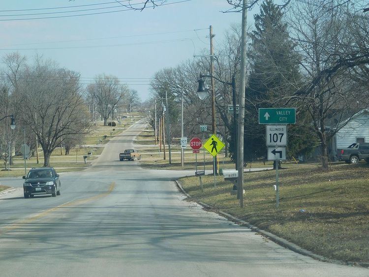
Illinois 107 begins at an interchange with Interstate 72, U.S. Route 36, and U.S. Route 54 in Pike County; this interchange also serves as US 54's northern terminus. Illinois 107 heads northeast from the interchange and passes through Griggsville. The route heads north from Griggsville before turning northwest and passing Perry. After a junction with Illinois Route 104 north of Perry, Illinois 107 enters Brown County and heads north toward Mt. Sterling. The road terminates at a junction with Illinois 99 in southern Mt. Sterling. Illinois 107 is a rural two-lane surface road for its entire length.
History
SBI Route 107 originally ran from Pike Station (located at what is now U.S. Route 54 and the Mississippi River) to Griggsville. In the early 1930s, all of the route south of Pittsfield was changed to U.S. 54, leaving the portion between Pittsfield and Griggsville as Illinois 107. In 1964 the northern extension to Mount Sterling was added. In 1995, U.S. 54 replaced Illinois 107 north to the new U.S. Route 36 freeway, which then became Interstate 72. As a result, Illinois 107 and U.S. 54 now terminate at the same interchange.