
Population 399,727 (2012) | ||
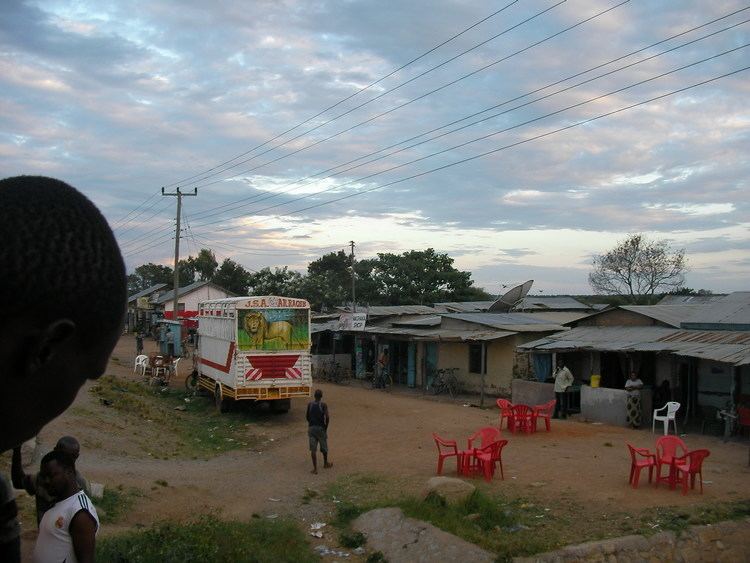 | ||
Igunga is one of the seven districts of the Tabora Region of Tanzania. It is bordered to the north by the Shinyanga Region, to the east by the Singida Region, to the south by the Uyui District and to the west by the Nzega District. Its administrative seat is the town of Igunga. Igunga is now divided by two Constituencys: Igunga Constituency and Manonga Constituency, whereby Manonga town is Choma Chankola.
Contents
Map of Igunga, Tanzania
According to the 2002 Tanzania National Census, the population of the Igunga District was 325,547. [1].
According to the 2012 Tanzania National Census, the population of Igunga District was 399,727.
Transport
Paved Trunk road T3 from Morogoro to Rwanda passes through the district from east to west.
Administrative subdivisions
As of 2012, Igunga District was administratively divided into 35 wards.