
Length 46.33 km | ||
 | ||
Counties | ||
Idaho State Highway 71 (SH 71) is a short highway, connecting the north–south US-95 corridor with the recreational opportunities in Hells Canyon. It runs north from Cambridge to the Oregon border at the Brownlee Dam.
Contents
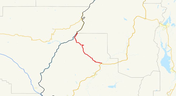
Map of ID-71, Cambridge, ID 83610, USA
Route description
SH 71 begins on a bridge crossing the Snake River and the Oregon border. The road continues south, passing by Brownlee Dam and winding along the edge of the river. The highway turns inland, heading southeast and curving through the mountains. Eventually, SH 71 moves into farmland, and enters the town of Cambridge as Hopper Avenue, where it ends at US 95.
References
Idaho State Highway 71 Wikipedia(Text) CC BY-SA