
Admin. region Oberbayern Time zone CET/CEST (UTC+1/+2) Local time Friday 6:44 AM Postal code 82057 | Elevation 636 m (2,087 ft) Area 16.99 km² Population 3,600 (31 Dec 2008) Dialling code 08178 | |
 | ||
Weather 3°C, Wind W at 11 km/h, 90% Humidity | ||
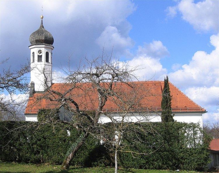
Icking is a municipality in the district of Bad Tölz-Wolfratshausen in Bavaria in Germany.
Contents
- Map of Icking Germany
- People
- Townships
- History
- Educational institutions
- Transportation services
- Recreational facilities
- References
Map of Icking, Germany
People
Townships
It consists of:
History
The region belonged to the bursary of Munich and the district court of Wolfratshausen in the electorate of Bavaria and was a lordship of Schäftlarn until its secularization. In 1818, Icking became an autonomous political community following Bavaria's administrative reform.
Educational institutions
The Icking Gymnasium was founded in 1921 through a parent initiative. On 23 August 1960, a contract was signed, making it a state institution. Today the school features three educational paths, focusing on humanities and the classics, the sciences, and modern languages. Current enrollment is around 900 students.
Transportation services
Icking station was opened on 27 July 1891 with this section of the Isar Valley Railway and is served at 20 minute intervals by line S 7 of the Munich S-Bahn between Wolfratshausen and Kreuzstrasse.
Recreational facilities
Beach volleyball complex, Ski jump (out of commission), tennis courts, soccer field, gymnasiums at the elementary school and Gymnasium.