
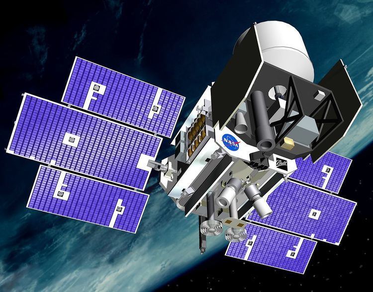
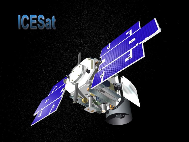
Mission type Remote sensing COSPAR ID 2003-002A Website icesat.gsfc.nasa.gov Launch date 13 January 2003 Inclination 94° Period 1.6 hours | SATCAT no. 27642 Mission duration 7 years Launch mass 970 kg Inclination 94° Launch mass 970 kg | |
 | ||
Similar CryoSat‑2, CALIPSO, Solar Radiation and Clim, Soil Moisture Active Pa, Aqua | ||
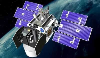
Icesat 2 s instrument on the move
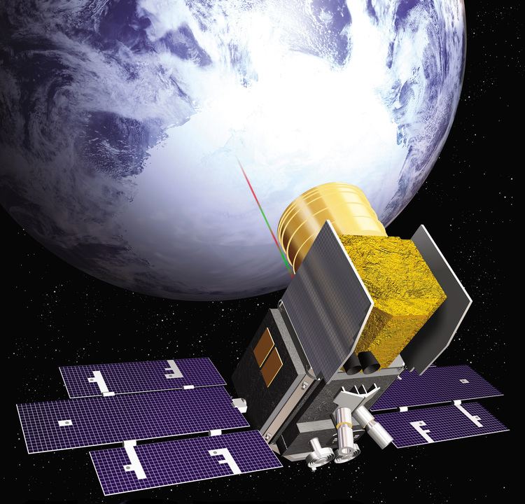
ICESat (Ice, Cloud, and land Elevation Satellite), part of NASA's Earth Observing System, was a satellite mission for measuring ice sheet mass balance, cloud and aerosol heights, as well as land topography and vegetation characteristics. ICESat was launched 13 January 2003 on a Delta II rocket from Vandenberg Air Force Base in California into a near-circular, near-polar orbit with an altitude of approximately 600 km. It operated for seven years before being retired in February 2010, after its scientific payload shut down and scientists were unable to restart it.
Contents
- Icesat 2 s instrument on the move
- Launchpad icesat 2 next generation technology
- Satellite instruments
- Operational history
- Possible successor
- References
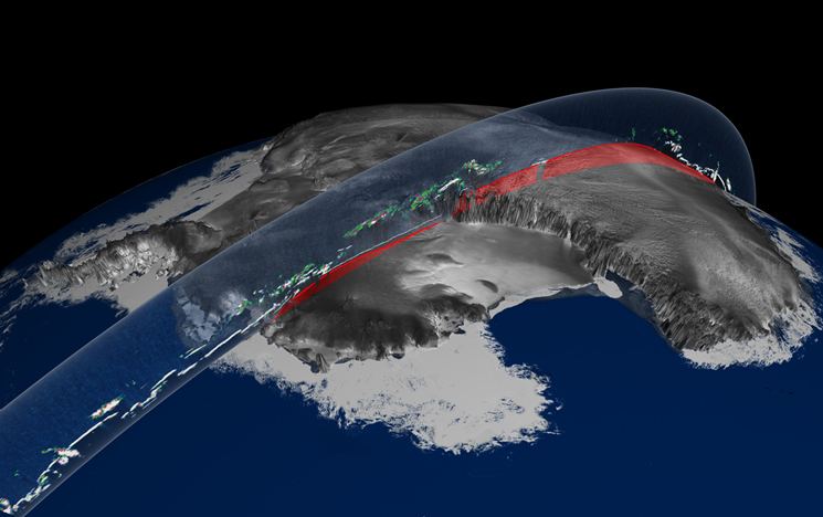
The ICESat mission was designed to provide elevation data needed to determine ice sheet mass balance as well as cloud property information, especially for stratospheric clouds common over polar areas. It provides topography and vegetation data around the globe, in addition to the polar-specific coverage over the Greenland and Antarctic ice sheets. The satellite was found useful in assessing important forest characteristics, including tree density.
Launchpad icesat 2 next generation technology
Satellite instruments
The sole instrument on ICESat was the Geoscience Laser Altimeter System (GLAS), a space-based LIDAR. GLAS combined a precision surface LIDAR with a sensitive dual-wavelength cloud and aerosol LIDAR. The GLAS lasers emit infrared and visible laser pulses at 1064 and 532 nm wavelengths. As ICESat orbited, GLAS produces a series of approximately 70 m diameter laser spots that are separated by nearly 170 m along the spacecraft's ground track. During the commissioning phase of the mission, the ICESat was placed into an orbit which allowed the ground track to repeat every 8 days. During August and September 2004, the satellite was maneuvered into a 91-day repeating ground track for the main portion of the mission.
Operational history
ICESat was designed to operate for three to five years. Testing indicated that each GLAS laser should last for two years, requiring GLAS to carry three lasers in order to fulfil the nominal mission length. During the initial on orbit test operation, a pump diode module on the first GLAS laser failed prematurely on 29 March 2003. A subsequent investigation indicated that a corrosive degradation of the pump diodes, due to an unexpected but known reaction between indium solder and gold bonding wires, had possibly reduced the reliability of the lasers. Consequentially, the total operational life for the GLAS instrument was expected to be as little as less than a year as a result. After the two months of full operation in the fall of 2003, the operational plan for GLAS was changed, and it was operated for one-month periods out of every three to six months in order to extend the time series of measurements, particularly for the ice sheets. The last laser failed on 11 October 2009, and following attempts to restart it, the satellite was retired in February 2010. Between 23 June and 14 July, the spacecraft was manoeuvred into a lower orbit in order to speed up orbital decay. On 14 August 2010 it was decommissioned, and at 09:00 UTC on 30 August 2010 it reentered the atmosphere.
Possible successor
NASA is in the process of designing a follow-on mission, ICESat-2, to continue studying polar ice changes, and biomass and carbon in vegetation. The new satellite is tentatively planned for launch in 2017 on a Delta 2 rocket. For the period of time in between the two satellites NASA's Operation IceBridge is using a DC-8 aircraft to measure ice thickness and collect other data.