
Prominence 480 m (1,570 ft) Topo map 1415 III Hårteigen Elevation 1,690 m | Easiest route Steep ice/snow First ascent 18 August 1812 | |
 | ||
Isolation 27.65 kilometres (17.18 mi) Similar Sandfloegga, Trolltunga, Gaustatoppen, Haukelifjell, Folarskardnuten | ||
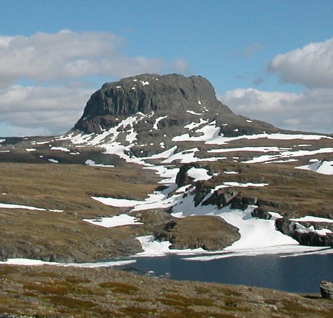
Hårteigen is a characteristic mountain in Hordaland county, Norway. It sits on and is visible from most parts of the vast Hardangervidda plateau. The mountain is located in the municipality of Ullensvang, and it is inside the Hardangervidda National Park.
Contents
Map of H%C3%A5rteigen, 5781 Lofthus, Norway
At an elevation of 1,690 metres (5,540 ft) above sea level, the peak of Hårteigen rises 480 metres (1,570 ft) above the surrounding plateau which is fairly level. It is located about 30 kilometres (19 mi) northeast of the town of Odda.
Name
The first element is from the Old Norse word hárr which means 'grey' and the last element is related to the German verb zeigen which means 'show'. On the large and flat plateau of Hardangervidda this mountain was important for travellers to find the direction.