
Time zone EST (UTC−5) Population 203,264 (2010) | State New York Elevation 135 ft (41 m) Local time Thursday 9:51 PM | |
 | ||
ZIP codes 11721, 11724, 11731, 11740, 11743, 11746, 11747, 11750, 11768 Weather 1°C, Wind NW at 19 km/h, 37% Humidity Points of interest Heckscher Museum of Art, Heckscher Park, Huntington Historical Society, Gold Star Beach Park, Fleets Cove Beach Park | ||
Long island pride heckscher park huntington new york
The Town of Huntington is one of ten towns in Suffolk County, New York, United States. Founded in 1653, it is located on the north shore of Long Island in northwestern Suffolk County, with Long Island Sound to its north and Nassau County adjacent to the west. Huntington is part of the New York metropolitan area. As of the United States 2010 Census, the town population was 203,264.
Contents
- Long island pride heckscher park huntington new york
- Map of Huntington NY USA
- History
- Demographics
- Government and politics
- Economy
- Top employers
- Colleges and universities
- Elementary and high schools
- Local media
- In popular culture
- Villages incorporated
- Railroad lines
- Bus service
- Major roads
- References
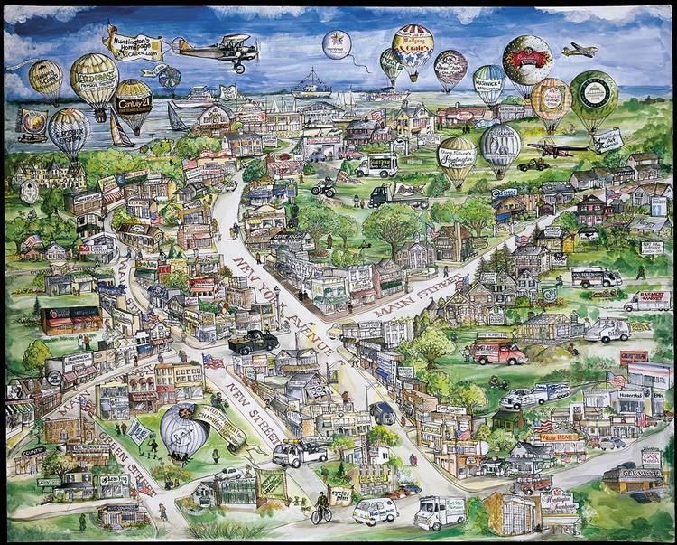
Map of Huntington, NY, USA
History
In 1653, three men from Oyster Bay, Richard Holbrook, Robert Williams and Daniel Whitehead, purchased a parcel of land from the Matinecock tribe. This parcel has since come to be known as the "First Purchase" and included land bordered by Cold Spring Harbor on the west, Northport Harbor on the east, what is now known as Old Country Road to the south and Long Island Sound to the north. The three men immediately turned the land over to the white settlers who had already been living there.
From that initial settlement, Huntington grew over subsequent years to include all of the land presently comprising the modern Towns of Huntington and Babylon. The southern part of the town was formally separated to create Babylon in 1872.
Because Huntington was populated largely by English settlers, unlike the rest of the New Amsterdam colony, the town voted in 1660 to become part of the Connecticut colony rather than remain under the authority of New Amsterdam. It was not until the British gained control of New Amsterdam in 1664 (renaming it New York) that Huntington was formally restored to the jurisdiction of New York.
Following the Battle of Long Island during the American Revolutionary War, British troops used Huntington as their headquarters, and remained encamped there until the end of the war.
The arrival of the Long Island Rail Road in 1867 transformed the economy of Huntington from primarily agriculture and shipping (based on its well protected harbor) to tourism and commuting. Cold Spring Harbor became a popular summer resort.
The end of World War II brought about an explosive growth of population in Huntington, as in the rest of the region. Farms and resorts gave way to homes, and Huntington has transformed into a major bedroom community for nearby New York City.
Demographics
As of the census of 2000, there were 195,289 people, 65,917 households, and 52,338 families residing in the town. The population density was 2,078.4 people per square mile (802.5/km²). There were 67,708 housing units at an average density of 720.6 per square mile (278.2/km²). The racial makeup of the town in 2000 was 88.31% White, 4.22% Black or African American, 0.13% Native American, 3.50% Asian, 0.02% Pacific Islander, 2.27% from other races, and 1.55% from two or more races. Hispanic or Latino of any race were 6.58% of the population. As of the census of 2010, the racial makeup of the town was 84.15% White, 4.68% Black or African American, 0.20% Native American, 4.96% Asian, 0.02% Pacific Islander, 3.89% from other races, and 2.10% from two or more races. Hispanic or Latino of any race were 11.00% of the population.
There were 65,917 households out of which 37.1% had children under the age of 18 living with them, 67.4% were married couples living together, 8.9% had a female householder with no husband present, and 20.6% were non-families. 16.2% of all households were made up of individuals and 6.7% had someone living alone who was 65 years of age or older. The average household size was 2.91 and the average family size was 3.26.
In the town, the population was spread out with 25.5% under the age of 18, 5.8% from 18 to 24, 30.2% from 25 to 44, 25.5% from 45 to 64, and 13.1% who were 65 years of age or older. The median age was 39 years. For every 100 females there were 96.2 males. For every 100 females age 18 and over, there were 93.4 males.
According to a 2007 estimate, the median income for a household in the town was $102,865, and the median income for a family was $113,119. Males had a median income of $61,748 versus $40,825 for females. The per capita income for the town was $36,390. About 2.9% of families and 4.6% of the population were below the poverty line, including 5.1% of those under age 18 and 4.6% of those age 65 or over.
Government and politics
The town government consists of a town council with four members, all of whom are elected at large. The town supervisor is elected by the entire town. Other elected positions are the Town Clerk, Highway Superintendent, and Receiver of Taxes. A referendum to move to a ward district system on December 22, 2009 failed 81% to 18%.
Economy
Sbarro's headquarters were located in Melville in the Town of Huntington until 2015.
Around 2002, Swiss International Air Lines's North American headquarters moved from Melville to Uniondale, Town of Hempstead. The facility, the former Swissair North American headquarter site, was completed in 1995. Swissair intended to own, instead of lease, its headquarters site. It enlisted architect Richard Meier to design the Melville facility.
In 1997, Aer Lingus announced that it was moving its North American headquarters from Manhattan to Melville; James Lyndon, a spokesperson for the airline, said that the company moved to Long Island in an effort to reduce costs, as leasing costs are lower in Long Island than in Manhattan. The move would transfer 75 employees, including administrative personnel, marketing personnel, sales personnel, and telephone reservation agents. The airline planned to move on June 15, 1997. The airline had also considered sites in Boston and in Westchester, New York.
Top employers
According to Huntington's 2012 Comprehensive Annual Financial Report, the top employers in the town are:
Colleges and universities
Huntington is home to two colleges and universities, including:
Elementary and high schools
There are a number of notable schools in Huntington.
Local media
Several weekly newspapers cover local news exclusively, including The Long-Islander, since 1838 as well as The Times of Huntington by TBR News Media. The Village Connection Magazine, published by Jim Savalli, is a lifestyle and entertainment magazine dedicated to the town of Huntington. Additionally, Patch, an online-only news website owned by AOL, and the Huntington Buzz, an online-only news website that is independently owned, covers hyper-local news on issues, people and events in Huntington.
In popular culture
Villages (incorporated)
Railroad lines
The Long Island Rail Road's Port Jefferson Branch serves the town's vicinity, and uses stations between Cold Spring Harbor through Northport. Huntington is the eastern terminus of electrification along the Port Jefferson Branch.
Bus service
The Town of Huntington is served primarily by Huntington Area Rapid Transit bus routes, though some routes from Suffolk County Transit also serve the town.