
Country United States ZIP codes 61924, 61944 Elevation 196 m Local time Thursday 7:13 PM | Time zone CST (UTC-6) GNIS feature ID 0429156 Area 78.37 km² Population 250 (2010) | |
 | ||
Weather 3°C, Wind S at 13 km/h, 59% Humidity | ||
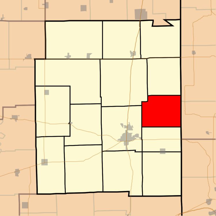
Hunter Township is one of fifteen townships in Edgar County, Illinois, USA. As of the 2010 census, its population was 250 and it contained 111 housing units. Hunter Township was formed from portions of Stratton Township and Brouilletts Creek Township on an unknown date.
Contents
- Map of Hunter Township IL USA
- Geography
- Extinct towns
- Cemeteries
- School districts
- Political districts
- References
Map of Hunter Township, IL, USA
Geography
According to the 2010 census, the township has a total area of 30.26 square miles (78.4 km2), of which 30.21 square miles (78.2 km2) (or 99.83%) is land and 0.04 square miles (0.10 km2) (or 0.13%) is water.
Extinct towns
Cemeteries
The township contains these seven cemeteries: Blackman, Bright, Bruce, Cook, Saint Aloysius, Sixteen and Stafford-Crimmons.
School districts
Political districts
References
Hunter Township, Edgar County, Illinois Wikipedia(Text) CC BY-SA