
Area 1,616 km² Population 17,960 (2013) Unemployment rate 5.1% (Apr 2015) | Founded 3 January 1823 | |
 | ||
Website www.edgarcountyillinois.com Rivers Polecat Creek, Brouilletts Creek, Doyles Creek | ||
Thunderstorm warning edgar county illinois 06 15 11
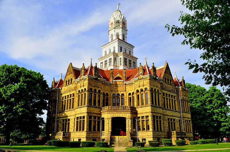
Edgar County is a county located in the U.S. state of Illinois. As of the 2010 census, the population was 18,576. Its county seat is Paris.
Contents
- Thunderstorm warning edgar county illinois 06 15 11
- Map of Edgar County IL USA
- History
- Geography
- Climate and weather
- Adjacent counties
- Major highways
- Rail
- Airport
- Demographics
- Cities
- Villages
- Townships
- References
Map of Edgar County, IL, USA
History
Edgar County was formed out of Clark County in 1823 and named for John Edgar, an Irish-born officer in the Royal Navy who resigned rather than fight against the Americans in the Revolutionary War. Edgar moved to Kaskaskia, Illinois in 1784, becoming a miller and merchant in that town.
Geography
According to the U.S. Census Bureau, the county has a total area of 624 square miles (1,620 km2), of which 623 square miles (1,610 km2) is land and 0.6 square miles (1.6 km2) (0.1%) is water.
Climate and weather
In recent years, average temperatures in the county seat of Paris have ranged from a low of 16 °F (−9 °C) in January to a high of 86 °F (30 °C) in July, although a record low of −23 °F (−31 °C) was recorded in January 1930 and a record high of 109 °F (43 °C) was recorded in July 1936. Average monthly precipitation ranged from 2.23 inches (57 mm) in January to 4.43 inches (113 mm) in July.
Adjacent counties
Major highways
Rail
Three railroad lines run through the county. Two are operated by CSX Transportation and the third by the Eastern Illinois Railroad Company.
Airport
The county contains one public-use airport: Edgar County Airport (PRG), located approximately six miles north of Paris.
Demographics
As of the 2010 United States Census, there were 18,576 people, 7,839 households, and 5,148 families residing in the county. The population density was 29.8 inhabitants per square mile (11.5/km2). There were 8,803 housing units at an average density of 14.1 per square mile (5.4/km2). The racial makeup of the county was 98.3% white, 0.3% black or African American, 0.2% Asian, 0.1% American Indian, 0.3% from other races, and 0.7% from two or more races. Those of Hispanic or Latino origin made up 1.0% of the population. In terms of ancestry, 23.6% were German, 15.3% were Irish, 13.0% were English, and 12.3% were American.
Of the 7,839 households, 28.5% had children under the age of 18 living with them, 50.3% were married couples living together, 10.7% had a female householder with no husband present, 34.3% were non-families, and 29.5% of all households were made up of individuals. The average household size was 2.33 and the average family size was 2.84. The median age was 43.2 years.
The median income for a household in the county was $39,904 and the median income for a family was $51,588. Males had a median income of $38,945 versus $29,951 for females. The per capita income for the county was $22,175. About 9.7% of families and 13.5% of the population were below the poverty line, including 19.2% of those under age 18 and 7.9% of those age 65 or over.
Cities
Villages
Townships
Edgar County is divided into fifteen townships: