
Time zone FKST (UTC−3) | Highest elevation 190 m (620 ft) Area 3.03 km² | |
 | ||
Wynyard to three hummock island wmv
Hummock Island is the largest of a group of islands in King George Bay in the Falkland Islands. It has a land area of 3.03 square kilometres (1.17 sq mi) and is about 4.0 miles (6.4 km) long in a north-west to south-east direction. Hummock Island is off the western coast of West Falkland, in a bay that leads to the estuary of the Chartres River. The highest point on the island is in the north-east and is 190 metres (620 ft). There are cliffs which often reach over 60 metres (200 ft) high.
Contents
- Wynyard to three hummock island wmv
- Map of Hummock Island FIQQ 1ZZ Falkland Islands Islas Malvinas
- Three hummock island fly in wmv
- Important Bird Area
- References
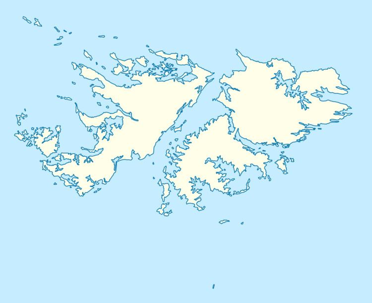
Map of Hummock Island, FIQQ 1ZZ, Falkland Islands (Islas Malvinas)
Hummock Island is situated between Rabbit Island and Middle Island. Other islands in the Hummock Island group include Green Island and Gid's Island. In the middle of the Twentieth Century the island was used as an extension of the New Island sheep farm, and heavy grazing caused much of the Tussac grass to be eaten out. This has left areas of bare 'black ground'. However, the present owner has indicated that he will not restock the island but will allow the vegetation to recover. Gid's and Middle Islands are nature reserves.
Three hummock island fly in wmv
Important Bird Area
The Hummock Island group has been identified by BirdLife International as an Important Bird Area (IBA). Birds for which the site is of conservation significance include southern rockhopper penguins (1700 breeding pairs), imperial shags, striated caracaras (8–10 pairs), and Cobb's wrens.