
Time zone FKST (UTC−3) | Highest elevation 120 m (390 ft) Area 155 ha | |
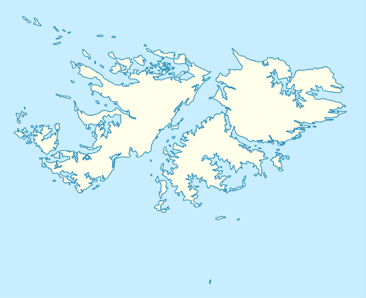 | ||
Middle Island is one of the Hummock Island group in the Falkland Islands. It is near West Falkland, to its west, near the estuary of the Chartres River in King George Bay It is to the south east of Hummock Island.
Map of Middle Island, FIQQ 1ZZ, Falkland Islands (Islas Malvinas)
Middle Island has a land area of 155 hectares (380 acres; 0.60 sq mi) and its cone rises to 120 metres (390 ft). It is believed that it was used for grazing for a short time before 1930 but has been not been grazed since then and is free of predators
References
Middle Island, Falkland Islands Wikipedia(Text) CC BY-SA