
Elevation 85 m (280 ft) Postal code 230381 Local time Thursday 4:03 PM | Municipal seat Hulin Town (虎林镇) Time zone China Standard (UTC+8) Area 9,329 km² | |
 | ||
Country People's Republic of China Weather 4°C, Wind N at 11 km/h, 53% Humidity Points of interest Zhenbao Island, Wanda Mountains | ||
Hulin (Chinese: 虎林; pinyin: Hǔlín; literally: "tiger forest") is a county-level city on the Muling River in southeastern Heilongjiang province, People's Republic of China. With a population of around 200,000, it is under the administration of Jixi. Nearby are Lake Xingkai, 51 kilometres (32 mi) to the southwest, the Usuri River, which forms the Russian border 38 kilometres (24 mi) to the east. The main agricultural products include soybeans, cattle, milk, various organic produces, and lumber.
Contents
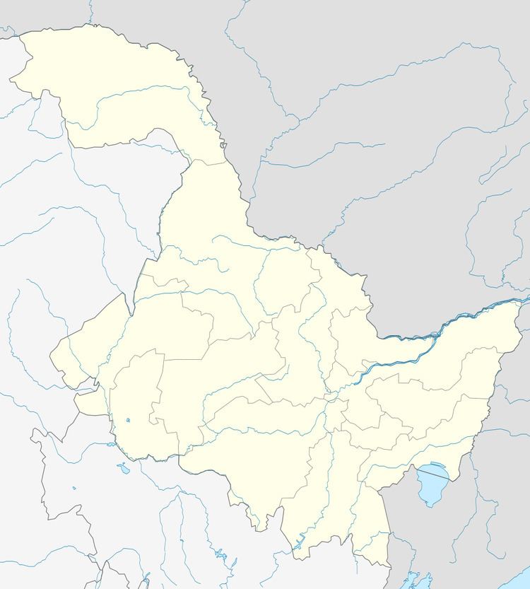
Map of Hulin, Jixi, Heilongjiang, China
Geography and climate
Hulin has a monsoon-influenced humid continental climate (Köppen Dwb), with long, bitterly cold, but dry winters, and warm, humid summers. The monthly 24-hour average temperature ranges from −18.3 °C (−1 °F) in January to 21.6 °C (71 °F) in July, and the annual mean is 3.49 °C (38.3 °F). More than 2/3 of the year's precipitation occurs from June to September.