Harman Patil (Editor)

Huaytará Province

Updated on
Edit
Like
Comment
Share on FacebookTweet on TwitterShare on LinkedInShare on Reddit
Country
  
Peru

Area
  
6,458 km²

Region
  
Huancavelica Region

UBIGEO
  
0906

Capital
  
Huaytará

Huaytará Province httpsuploadwikimediaorgwikipediacommonsthu

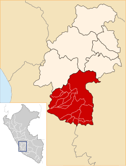
Huaytará Province is the largest of seven provinces located in the Huancavelica Region of Peru. The capital city is Huaytará. The province has a population of 28,129 inhabitants as of 2005.

Contents

Map of Huaytar%C3%A1 Province, Peru

Boundaries

  • North: Castrovirreyna Province, Huancavelica Province, Angaraes Province
  • East: Ayacucho Region
  • South: Ica Region and Ayacucho Region
  • West: Ica Region
  • Geography

    Some of the highest mountains of the province are listed below:

    Political division

    The province is divided into sixteen districts, which are:

  • Ayaví (Ayaví)
  • Córdova (Córdova)
  • Huayacundo Arma (Huayacundo Arma)
  • Huaytará (Huaytará)
  • Laramarca (Laramarca)
  • Ocoyo (Ocoyo)
  • Pilpichaca (Pilpichaca)
  • Querco (Querco)
  • Quito-Arma (Quito-Arma)
  • San Antonio de Cusicancha (Cusicancha)
  • San Francisco de Sangayaico (San Francisco de Sangayaico)
  • San Isidro (San Juan de Huirpacancha)
  • Santiago de Chocorvos (Santiago de Chocorvos)
  • Santiago de Quirahuara (Santiago de Quirahuara)
  • Santo Domingo de Capillas (Santo Domingo de Capillas)
  • Tambo (Tambo)
  • Ethnic groups

    The province is inhabited by indigenous citizens of Quechua descent. Spanish is the language which the majority of the population (73.93%) learnt to speak in childhood, 25.85% of the residents started speaking using the Quechua language (2007 Peru Census).

    References

    Huaytará Province Wikipedia