
Website www.munihuaral.gob.pe Area 3,656 km² | UBIGEO 1506 Founded 11 May 1976 Region Lima Region | |
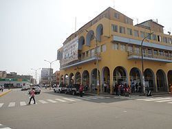 | ||
The Huaral Province is one of the nine provinces in the Lima Region of Peru. It was created by Law No. 21488 on May 11, 1976 by president Francisco Morales Bermúdez out of eight districts of the Canta Province and four of the Huaura Province. Geographically, its territory extends around the valley of the Chancay River from the mountainous frontier of the Pasco Region and Junín Region up to the Pacific Ocean.
Contents
Map of Huaral Province, Peru
Geography
The Puwaq Hanka mountain range traverses the province. Some of the highest peaks of the province are listed below:
Political division
The province is divided into twelve districts (Spanish: distritos, singular: distrito):
Attractions
References
Huaral Province Wikipedia(Text) CC BY-SA