
Area 4,892 km² Region Lima Region | UBIGEO 1501 | |
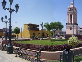 | ||
Huaura is one of nine provinces of the Lima Region on the Pacific coast of Perú. It has a population of about 180,000 inhabitants. It is bordered by the province of Barranca and the Ancash Region in the north, the provinces of Cajatambo and Oyón and the Pasco Region in the east, the province of Huaral in the south and the Pacific Ocean in the west. The capital of the province is Huacho.
Contents
Map of Huaura Province, Peru
Geography
Some of the highest mountains of the province are listed below:
Political division
The 4,891.92 square kilometres (1,888.78 sq mi) is divided into twelve districts:
References
Huaura Province Wikipedia(Text) CC BY-SA