
District Huaral Time zone PET (UTC-5) Local time Wednesday 7:17 PM | Demonym(s) Huaralino (a) Website www.munihuaral.gob.pe | |
 | ||
Weather 26°C, Wind SW at 13 km/h, 77% Humidity | ||
Huaral is a town in central Peru, capital of the province Huaral in the region Lima.
Contents
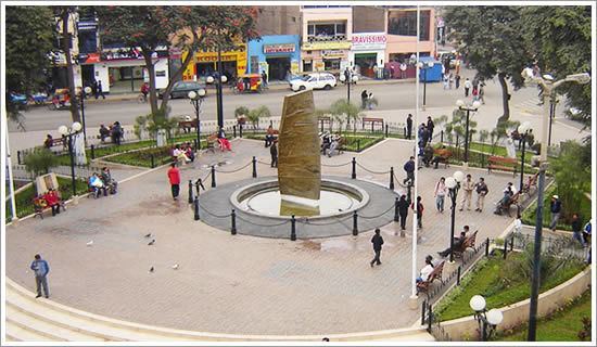
Map of Huaral, Peru
Geography
Huaral is a geographical territory which lies north of the capital of Peru , located 78 km (48 mi) North of Lima , but starting its territory by the coast side at kilometer 56 of the North Panamerican Highway, in the middle of the "Serpentín de Pasamayo".
The territory of the city includes the coastal strip comprising all the Chancay valley to the high peaks of Vichaycocha, the source of the Chackal or Pasacmayo "Moon River".
History
Huaral, founded in the fourth quarter on March 21, 1551, by the Spanish, under the Real ordenaza, being Viceroy of Peru, Don Antonio de Mendoza Marques de Mondejar, as low natural seat the religious patronage of San Juan Bautista de Guaral, it is a city on the central coast of Peru.