| ||
Similar | ||
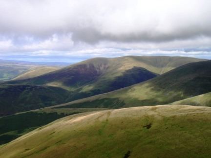
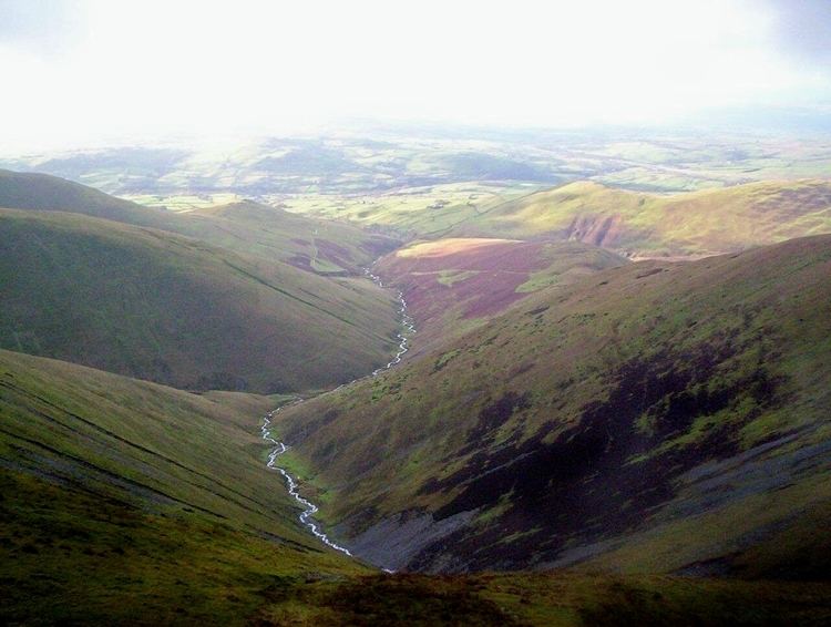
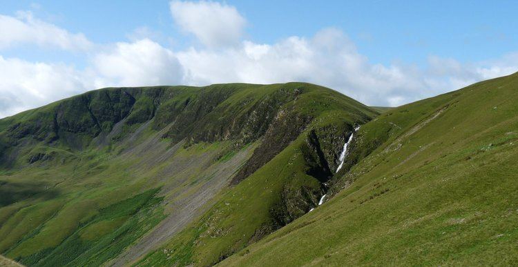
The Howgill Fells are hills in Northern England between the Lake District and the Yorkshire Dales, lying roughly in between the vertices of a triangle made by the towns of Sedbergh, Kirkby Stephen and Tebay.
Contents
The name Howgill derives from the Old Norse word haugr meaning a hill or barrow, plus gil meaning a narrow valley.
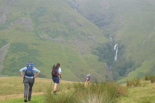
Tebay to sedbergh a walk over the howgill fells
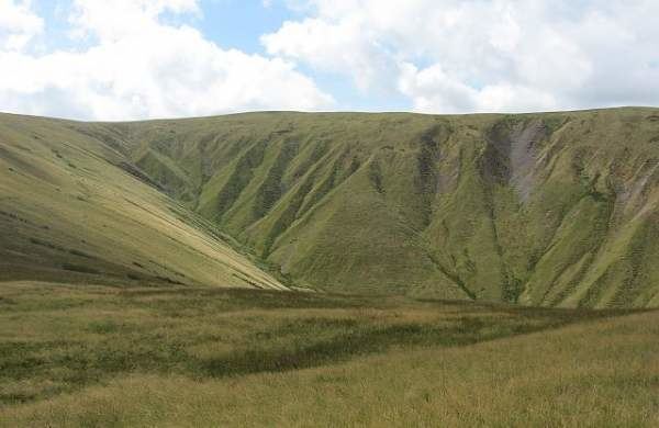
Geography and geology
The fells are bounded by the River Lune (and the M6 motorway to the west), to the north by upper reaches of the River Lune, and to the east by the River Rawthey.
Unlike the Carboniferous Limestone Yorkshire Dales they are made of Ordovician and Silurian slates and gritstones.
The Howgill Fells include two Marilyns: The Calf - 2,218 ft (676 m) and Yarlside - 2,096 ft (639 m) and a number of smaller peaks, including five Hewitts.
Parts of the southern Howgill Fells lie within the Yorkshire Dales National Park, though they have been within the modern county of Cumbria since the county boundary changes in 1974. They were originally shared by the West Riding of Yorkshire and Westmorland