
Sovereign state United Kingdom Postcode district DA4 Local time Tuesday 11:39 PM | Post town DARTFORD Dialling code 01322 | |
 | ||
Weather 9°C, Wind W at 8 km/h, 95% Humidity Civil parish Horton Kirby and South Darenth | ||
Horton kirby flight 1 june 2016
Horton Kirby is a village in the Sevenoaks District of Kent, England. It is located on the River Darent, around four miles southeast of Dartford and around three miles east of Swanley, and close to the M20 motorway. Together with the nearby village of South Darenth, it forms the Horton Kirby and South Darenth civil parish.
Contents
- Horton kirby flight 1 june 2016
- Map of Horton Kirby Dartford UK
- Darent valley path 5 horton kirby
- Landmarks
- Transport
- References
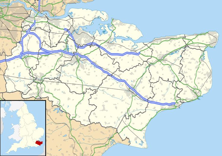
Map of Horton Kirby, Dartford, UK
Darent valley path 5 horton kirby
Landmarks
Horton Kirby Environmental Studies Centre provides nature and country life-related outdoor activities for schoolchildren from South London. Remains of a Roman villa were discovered on the Westminster Field recreation ground, just across the Darent from the village, in 1972.
Transport
The A225 road between Dartford and Sevenoaks passes to the west of Horton Kirby, on the opposite side of the Darent. Kent County Council bus route 414, operated by Arriva Southern Counties, runs from the village to Dartford via the A225. The nearest railway station is Farningham Road on the Chatham Main Line.