
Established 1873 Area 30.2 km² Local time Tuesday 3:14 PM | Postal code (street) 9479 Population 16,033 (2011) Area code 053 | |
 | ||
Weather 31°C, Wind NW at 13 km/h, 26% Humidity | ||
Google timelapse hoopstad south africa
The key town of Hoopstad is situated on the R700 Highway between Bloemfontein and the North West Province. This area is considered to be the richest maize-producing district in South Africa. The town is located near the Bloemhof Dam which is situated on the Vaal River. The Sandveld Nature Reserve is positioned alongside the Bloemhof Dam. Hopetown and Hoopstad are two different towns and often get confused.
Contents
Map of Hoopstad, South Africa
History and activities
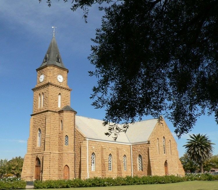
The town of Hoopstad was initially founded in 1876 and named Hauptstad after Mr Haupt, a surveyor. The translation of Hauptstad into Afrikaans means Capital, which it clearly wasn’t and the town was therefore renamed Hoopstad. The town, whose name means "Hope City" in Afrikaans, was established on the one side of the large farm Kameeldoorns, with another town Bultfontein on the other side.