
Postal code (street) 2660 Population 27,904 (2011) Local time Sunday 6:31 AM | Established 1864 Area 50.9 km² Area code 053 | |
 | ||
Weather 16°C, Wind NW at 5 km/h, 100% Humidity | ||
Bloemhof dam from above
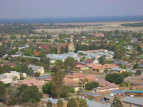
Bloemhof is an agricultural town of about 28,000 inhabitants situated on the banks of the Vaal River in North West Province of South Africa.
Contents
Map of Bloemhof, South Africa
History
It was founded in August 1864 when diamonds were discovered in the area. The town was established on the farm owned by John Barclay, who survived the HMS Birkenhead shipwreck in 1852. The place became known as Bloemhof (flower court) because of the lovely gardens that were planted by Barclay's daughter. In June 1869, the South African Republic's Volksraad created a new district called Bloemhof named after the town itself. Currently Bloemhof has a variety of social milieus; it has a township called Boitumelong and former coloured residence called Coverdale. Salamad is also a small residence formerly an Indian suburb which is situated in this town.