
Website www.co.hooker.ne.us Founded 1889 | Largest village Mullen Area 1,867 km² Population 738 (2013) Unemployment rate 3.2% (Apr 2015) | |
 | ||
Rivers Dismal River, Middle Loup River | ||
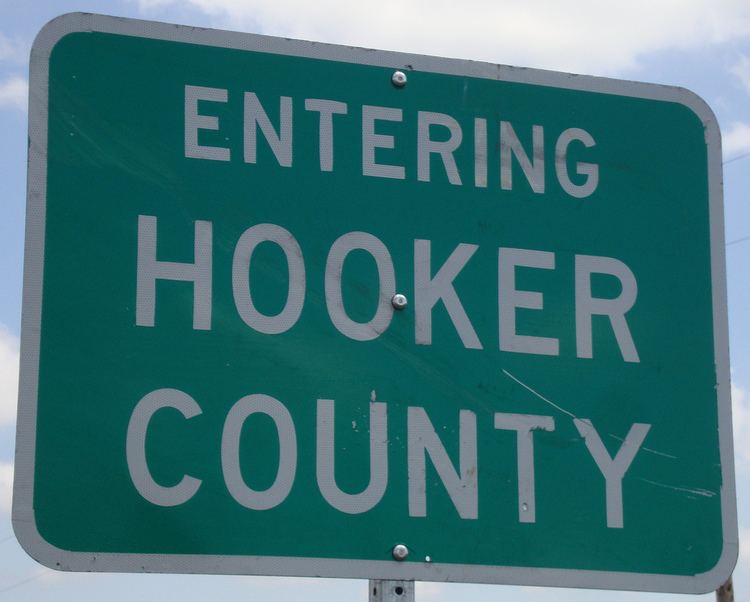
Hooker County is a county located in the U.S. state of Nebraska. As of the 2010 census, the population was 736. Its county seat is Mullen.
Contents
- Map of Hooker County NE USA
- History
- Geography
- Major highways
- Adjacent counties
- Demographics
- Politics
- Communities
- References
Map of Hooker County, NE, USA
In the Nebraska license plate system, Hooker County is represented by the prefix 93, because it had the smallest number of registered vehicles out of all 93 counties in the state when the licensing system was established in 1922.
History
Hooker County was formed in 1889 with the advent of the Chicago, Burlington and Quincy Railroad into that territory. It was named after General Joseph Hooker.
Geography
According to the U.S. Census Bureau, the county has a total area of 721 square miles (1,870 km2), of which 721 square miles (1,870 km2) is land and 0.3 square miles (0.78 km2) (0.05%) is water.
Major highways
Adjacent counties
Demographics
As of the census of 2000, there were 783 people, 335 households, and 220 families residing in the county. The population density was 1 person per square mile (0/km²). There were 440 housing units at an average density of 1 per square mile (0/km²). The racial makeup of the county was 98.72% White, 0.38% Native American, 0.13% Asian, 0.13% from other races, and 0.64% from two or more races. 1.02% of the population were Hispanic or Latino of any race.
There were 335 households out of which 26.90% had children under the age of 18 living with them, 60.30% were married couples living together, 3.90% had a female householder with no husband present, and 34.30% were non-families. 33.10% of all households were made up of individuals and 19.10% had someone living alone who was 65 years of age or older. The average household size was 2.26 and the average family size was 2.90.
In the county, the age distribution of the population shows 24.00% under the age of 18, 4.10% from 18 to 24, 21.60% from 25 to 44, 23.40% from 45 to 64, and 26.90% who were 65 years of age or older. The median age was 45 years. For every 100 females there were 83.40 males. For every 100 females age 18 and over, there were 84.80 males.
The median income for a household in the county was $27,868, and the median income for a family was $35,114. Males had a median income of $25,234 versus $16,250 for females. The per capita income for the county was $15,513. About 4.90% of families and 6.90% of the population were below the poverty line, including 5.30% of those under age 18 and 13.10% of those age 65 or over.
Politics
Hooker is a strongly Republican county in presidential elections. The last Democratic candidate to carry Hooker County was Franklin D. Roosevelt in 1932. In all but two presidential elections since 1960, the GOP candidate has carried the county with more than two-thirds of the vote.
Hooker is part of Nebraska's 3rd congressional district, which is held by Republican Adrian Smith.