
Country United States FIPS code 31-33250 Elevation 980 m Zip code 69152 Local time Tuesday 4:28 AM | Time zone Mountain (MST) (UTC-7) GNIS feature ID 0831529 Area 122 ha Population 509 (2013) Area code 308 | |
 | ||
Weather 3°C, Wind NE at 8 km/h, 78% Humidity | ||
Mullen is a village in Hooker County, Nebraska, United States. The population was 509 at the 2010 census. It is the county seat of Hooker County.
Contents
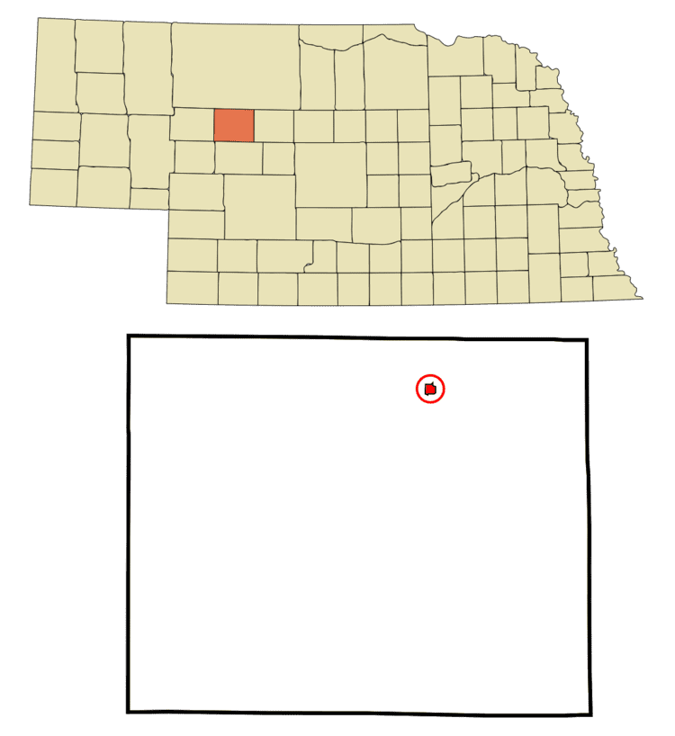
- Map of Mullen NE 69152 USA
- History
- Geography
- 2010 census
- 2000 census
- Annual cultural events
- Museums and other points of interest
- Parks and recreation
- Education
- Transportation
- Media
- Notable people
- References
Map of Mullen, NE 69152, USA
History
Mullen was laid out in 1888 when the railroad was extended to that point. It was named for Charles Mullen, a railroad official. The only settlement in Hooker County, Mullen was designated the county seat and the first courthouse was completed in 1889. Mullen was incorporated as a village in 1907.
Geography
Mullen is located at 42°2′33″N 101°2′44″W (42.042480, -101.045611), in the Nebraska Sandhills.
According to the United States Census Bureau, the village has a total area of 0.47 square miles (1.22 km2), all of it land. Mullen was named after Charles D. Mullen of Lincoln. At that time, Mullen was Chief Clerk for Mr. D.E. Thompson, Division Superintendent of the CB&Q Railroad.
2010 census
As of the census of 2010, there were 509 people, 232 households, and 139 families residing in the village. The population density was 1,083.0 inhabitants per square mile (418.1/km2). There were 293 housing units at an average density of 623.4 per square mile (240.7/km2). The racial makeup of the village was 98.4% White, 0.8% Native American, and 0.8% from two or more races. Hispanic or Latino of any race were 1.4% of the population.
There were 232 households of which 23.7% had children under the age of 18 living with them, 51.3% were married couples living together, 6.5% had a female householder with no husband present, 2.2% had a male householder with no wife present, and 40.1% were non-families. 37.9% of all households were made up of individuals and 20.7% had someone living alone who was 65 years of age or older. The average household size was 2.08 and the average family size was 2.76.
The median age in the village was 50.9 years. 20.6% of residents were under the age of 18; 4.8% were between the ages of 18 and 24; 17.6% were from 25 to 44; 27.9% were from 45 to 64; and 29.1% were 65 years of age or older. The gender makeup of the village was 47.0% male and 53.0% female.
2000 census
As of the census of 2000, there were 491 people, 236 households, and 139 families residing in the village. The population density was 1,307.8 people per square mile (498.9/km²). There were 309 housing units at an average density of 823.0 per square mile (314.0/km²). The racial makeup of the village was 98.78% White, 0.41% Native American, 0.20% Asian, 0.20% from other races, and 0.41% from two or more races. Hispanic or Latino of any race were 1.22% of the population.
There were 236 households out of which 22.0% had children under the age of 18 living with them, 53.0% were married couples living together, 5.5% had a female householder with no husband present, and 41.1% were non-families. 39.8% of all households were made up of individuals and 22.9% had someone living alone who was 65 years of age or older. The average household size was 2.08 and the average family size was 2.81.
In the village, the population was spread out with 22.4% under the age of 18, 3.7% from 18 to 24, 21.4% from 25 to 44, 24.2% from 45 to 64, and 28.3% who were 65 years of age or older. The median age was 47 years. For every 100 females there were 85.3 males. For every 100 females age 18 and over, there were 81.4 males.
As of 2000 the median income for a household in the village was $26,989, and the median income for a family was $34,375. Males had a median income of $25,625 versus $16,375 for females. The per capita income for the village was $16,532. About 2.8% of families and 5.5% of the population were below the poverty line, including 2.7% of those under age 18 and 11.5% of those age 65 or over.
Annual cultural events
The Sandhills Journey Scenic Byway Polar Bear Tank Race is held each winter. Teams race down the Middle Loup River in eight foot stock tanks.
The Sharptail Shootout is held each year in September and is a timed competition for hunters to see who can bag the largest number of grouse with the least shots fired. The event has been held for more than twenty-five years.
Museums and other points of interest
The Hooker County Historical Museum has many exhibits including a display of the area’s wartime and peacetime military.
Parks and recreation
The Sand Hills Golf Club located outside Mullen ranks as one of the top courses in the world according to Golf Magazine's World Top 100. The Mullen Golf Club was originally established in 1924, and is a 9-hole course located on the west edge of Mullen. Originally a sand greens layout, the course was redesigned (including grass greens) in 1938 switching to grass greens in 1991.
Education
Mullen is part of the Mullen Public Schools School District. The district has an elementary school and high school. Students attend Mullen High School.
Transportation
There are no scheduled commercial flights that fly into Mullen or into Hooker County. The nearest airports with regular airline service are in North Platte and Alliance, which are both exclusively served by Great Lakes Airlines.
Media
The Hooker County Tribune is published in Mullen. It is a weekly newspaper featuring local news and events.