
District Hollabrunn Area code 02952 Elevation 236 m Local time Monday 2:00 PM | Time zone CET (UTC+1) Website www.hollabrunn.gv.at Population 11,321 (1 Apr 2009) Postal code 2020 | |
 | ||
Weather 9°C, Wind NW at 10 km/h, 45% Humidity | ||
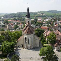
Hollabrunn is a district capital town in the Austrian state of Lower Austria, on the Göllersbach river.
Contents
Map of 2020 Hollabrunn, Austria
History
The surroundings of Hollabrunn were first settled in neolithic times. Around 300 B.C. one of the most significant La Tène culture cities in central Europe briefly flourished on the southern slopes of the Sandberg hill at Roseldorf close to the village of Platt, a few kilometers to the northwest of Hollabrunn.
On November 16, 1805, the nearby town of Schöngrabern was the site of a battle between the French Napoleonic troops under Joachim Murat (including general Nicolas Charles Oudinot, who was wounded) and the Russian general Pyotr Bagration (who was protecting Kutuzov's retreat north).
People
References
Hollabrunn Wikipedia(Text) CC BY-SA