
District Gänserndorf Time zone CET (UTC+1) Area 21.4 km² Population 892 (1 Apr 2009) | Elevation 244 m (801 ft) Area code 02574 Local time Monday 9:00 AM Postal code 2223 | |
 | ||
Weather 4°C, Wind N at 10 km/h, 68% Humidity | ||
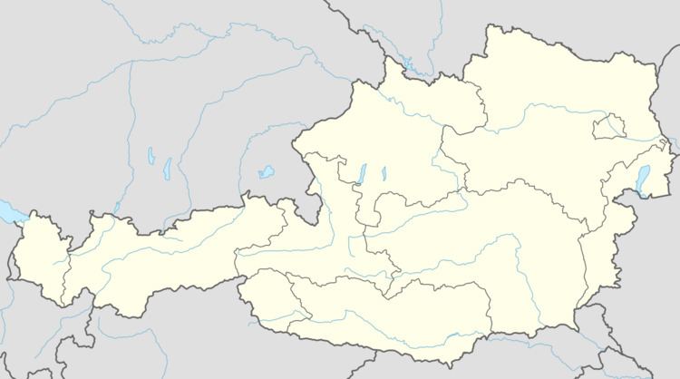
Hohenruppersdorf is a town in the district of Gänserndorf in the Austrian state of Lower Austria.
Contents
Map of Hohenruppersdorf, Austria
Geography
Hohenruppersdorf lies in the hills of the eastern Weinviertel in Lower Austria, about 3 km east of Bad Pirawarth and Gaweinstal. About 30 percent of the municipality is forested.
References
Hohenruppersdorf Wikipedia(Text) CC BY-SA