
Time zone CET/CEST (UTC+1/+2) Area 5.09 km² Population 327 (31 Dec 2008) Dialling code 06543 | Elevation 462 m (1,516 ft) Postal codes 55483 Local time Sunday 5:28 AM Postal code 55483 | |
 | ||
Weather 2°C, Wind SE at 24 km/h, 75% Humidity | ||
Hirschfeld (Hunsrück) is an Ortsgemeinde – a municipality belonging to a Verbandsgemeinde, a kind of collective municipality – in the Rhein-Hunsrück-Kreis (district) in Rhineland-Palatinate, Germany. It belongs to the Verbandsgemeinde of Kirchberg, whose seat is in the like-named town.
Contents
- Map of 55483 Hirschfeld Germany
- Location
- History
- Population development
- Municipal council
- Mayor
- Coat of arms
- Buildings
- Hirschfeld main centre
- Hirschfeld Bahnhof
- References
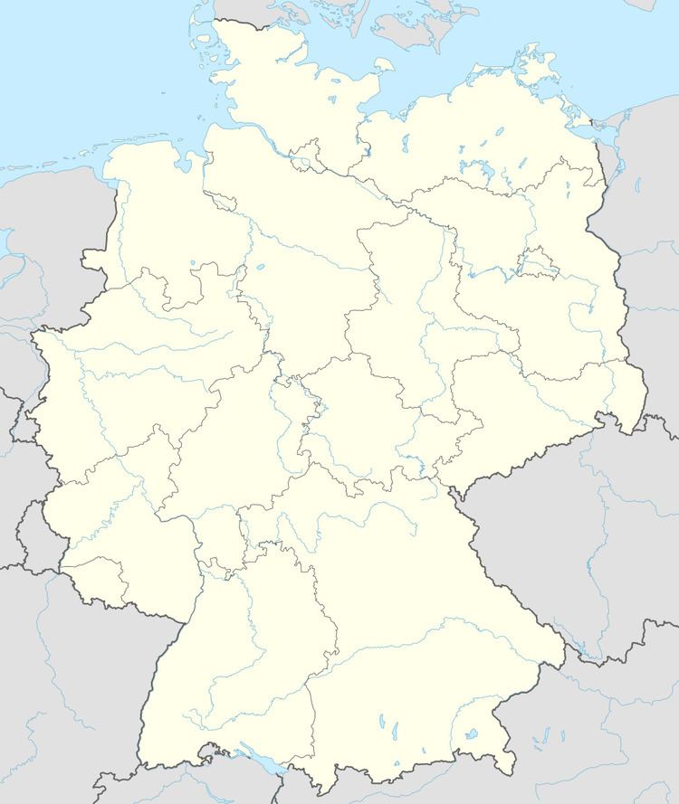
Map of 55483 Hirschfeld, Germany
Location
The municipality lies in the central Hunsrück. South of the village lies the Idarwald (forest), and to the north runs Bundesstraße 327, also known as the Hunsrückhöhenstraße (“Hunsrück Heights Road”, a scenic road across the Hunsrück built originally as a military road on Hermann Göring’s orders). A few kilometres to the northeast is Frankfurt-Hahn Airport. Hirschfeld also lies on the Hunsrückquerbahn, now used along this section of the line as a tourist railway.
History
Bearing witness to Hirschfeld’s early habitation are several barrows from prehistory and early history on the Roman road between the Belginum Archaeology Park and Boppard (Hunsrückhöhenstraße). In 1353, Hirschfeld had its first documentary mention when its church was mentioned in a document. The church itself has an interesting history, having begun life before the Reformation as a Catholic church, after which it became a simultaneous church to accommodate both Catholic and Protestant worship in Hirschfeld. It underwent expansion in 1748 and 1749. The simultaneum was dissolved in 1921, whereafter the Hirschfeld Catholic congregation built its own church in 1926, and the older building is now purely an Evangelical church. Two bells there date from 1481 and 1545.
Beginning in 1794, Hirschfeld lay under French rule. In 1815 it was assigned to the Kingdom of Prussia at the Congress of Vienna. Since 1946, it has been part of the then newly founded state of Rhineland-Palatinate.
Population development
What follows is a table of the municipality’s population figures for the years 1998 to 2006 (each time at 31 December):
Municipal council
The council is made up of 8 council members, who were elected at the municipal election held on 7 June 2009, and the honorary mayor as chairman.
Mayor
Hirschfeld’s mayor is Alfred Elz, and his deputies are Guido Schmidt and Joachim Schug.
Coat of arms
The German blazon reads: Gespalten von Grün und Blau durch eine eingebogene, silberne Spitze, darin ein roter Balken, begleitet von oben 3 und unten 4 schwarzen Schindeln, vorne ein silbernes Hirschgeweih, hinten ein silberner Kirchturm, wachsend mit schwarzer Tür und schwarzen Fenstern.
The municipality’s arms might in English heraldic language be described thus: Tierced in mantle vert a stag’s attires fixed to the scalp argent, azure issuant from the line of partition a tower with a conical roof of the second with windows and door sable, and in base argent a fess gules between seven billets fesswise in fess, three above and four below, of the fourth.
The charges in base recall the family Kratz von Scharfenstein, once the fiefholders and church lords in Hirschfeld. The hart’s antlers (“attires”) are a canting charge, referring to the municipality’s name (Hirschfeld means “Hart’s Field” in German). The churchtower on the sinister (armsbearer’s left, viewer’s right) side refers to the church in the village, which is held to have one of the loveliest Late Romanesque quire towers in the Hunsrück.
The arms shown at the municipality’s own website are somewhat different from what appears in this article. The division of the field is different, the charges in base are not quite the same, and the tinctures on the dexter (armsbearer’s right, viewer’s left) side do not match the ones shown at the source cited above. However, the German blazon clearly describes the arms seen here.
Buildings
The following are listed buildings or sites in Rhineland-Palatinate’s Directory of Cultural Monuments: