
Time zone CET (UTC+1) Website bernkastel-wittlich.de | Vehicle registration WIL, BKS Population 110,643 (2013) Team FSV Salmrohr | |
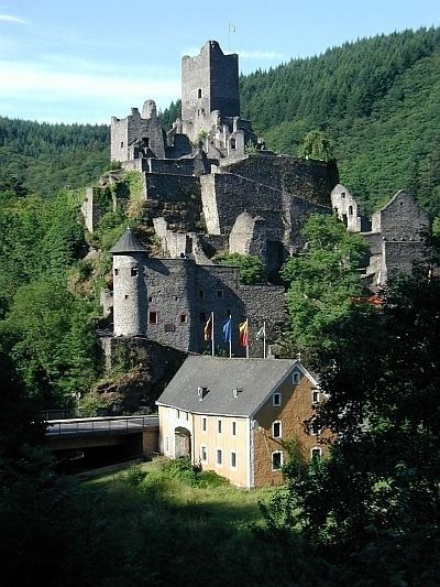 | ||
Points of interest Erbeskopf, Burg Landshut, Castles of Manderscheid, Buddha‑Museum Traben‑Trarbach, Grevenburg Destinations | ||
Bernkastel-Wittlich (German: Landkreis Bernkastel-Wittlich) is a district in Rhineland-Palatinate, Germany. It is bounded by (from the north and clockwise) the districts of Vulkaneifel, Cochem-Zell, Rhein-Hunsrück, Birkenfeld, Trier-Saarburg and Bitburg-Prüm.
Contents
Map of Bernkastel-Wittlich, Germany
History
The district was established in 1969 by merging the former districts of Bernkastel and Wittlich.
Geography
The district is situated on both banks of the Moselle, which crosses the territory from southwest to northeast. The country rises to the Eifel in the north and the Hunsrück in the south. A great number of tributaries rise in the Eifel and flow into the Moselle. In the very south of the district is the Erbeskopf (818 m), the highest peak in the Hunsrück and Rhineland-Palatinate.
Twin region
At one time, the Borough of Milton Keynes was the twinned region of the district of Bernkastel-Wittlich.