
Settled 1985 Area 67.37 km² Local time Monday 8:08 AM | Township Hlaingthaya Time zone MST (UTC6:30) Population 340,322 (Dec 2008) Area code 1 | |
 | ||
Weather 26°C, Wind W at 11 km/h, 84% Humidity University | ||
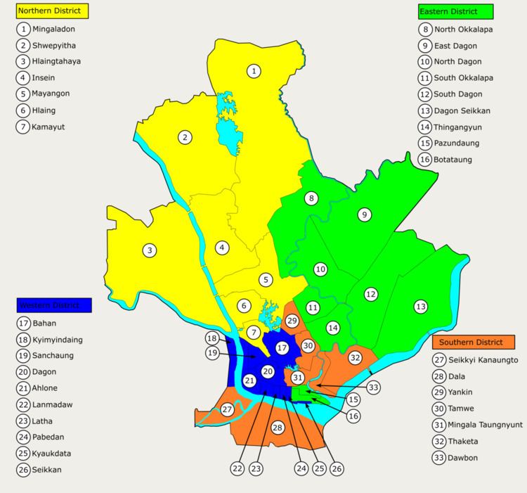
Hlaingthaya Township (Burmese: လှိုင်သာယာ မြို့နယ်၁၀ရပ္ကြက္, [l̥àiɴθàjà mjo̰nɛ̀]; also spelt Hlaing Tharyar Township) is located in the western part of Yangon, Myanmar. The township comprises 20 wards and nine village tracts, and shares borders with Htantabin Township in the north and west, Insein Township, Mayangon Township and Hlaing Township in the east across the Yangon River, and Twante Township in the south.
Contents
Map of Hlaingtharya, Yangon, Myanmar (Burma)
Overview
Hlaingthaya is the most developed of the new satellite towns founded in the 1980s. Hlaingthaya Industrial Zone, consisted of mostly garment and other light industries, is one of the largest industrial parks in the country. Showpiece gated communities of the wealthy like the FMI City and Pun Hlaing Garden Residences in the southeastern part of the township are the domain of the country's elite and are arguably among the best communities in the country. After Cyclone Nargis the township experienced a jump in population due to refugees.
The township is connected to other parts of Yangon across the Yangon river over the Aung Zeya Bridge and the Bayinnaung Bridge, and to Twante township over the Pan Hlaing river by the Pan Hlaing Bridge.
Education
The township has 46 primary schools, 8 middle schools and 4 high schools. Yangon Technological University also maintains a campus in Hlaingthaya.