
Time zone MST (UTC6:30) Elevation 1.83 m Local time Monday 8:08 AM | Township Hlaing Postal codes 11051, 11052 Area 13.7 km² Area code 1 | |
 | ||
Weather 26°C, Wind W at 11 km/h, 83% Humidity | ||
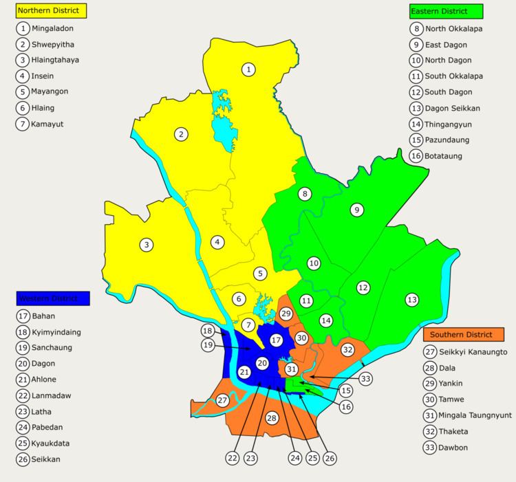
Hlaing Township (Burmese: လှိုင် မြို့နယ်, [l̥àiɴ mjo̰nɛ̀]) is an area of Yangon, Myanmar. The township comprises 16 wards and shares borders with Mayangon township and Thamaing Creek in the north, Mayangon township and Inya Lake in the east, Kamayut Township in the south and Hlaingthaya Township in the west. In 2000, the township's population was estimated to be about 125,000. It has 32 primary schools, eight middle schools and four high schools.
Contents
Map of Hlaing, Yangon, Myanmar (Burma)
Landmarks
The following is a list of landmarks protected by the city in Hlaing township.
References
Hlaing Township Wikipedia(Text) CC BY-SA