
 | ||
Hitrino Ridge (Bulgarian: рид Хитрино, ‘Rid Hitrino’ \'rid 'hi-tri-no) is the rocky ridge extending 3.5 km in northwest-southeast direction and 2.8 km in northeast-southwest direction, rising to 600 m between two southeastwards flowing tributaries to Flask Glacier in Aristotle Mountains on Oscar II Coast in Graham Land. The feature is named after the settlement of Hitrino in Northeastern Bulgaria.
Contents
Location
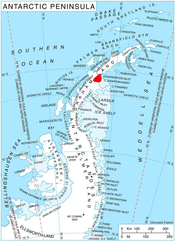
Hitrino Ridge is located at 65°44′08″S 62°28′03″W, which is 10.56 km southeast of Mount Sara Teodora, 6.4 km west-northwest of Daggoo Peak, and 2.4 km north of Fluke Ridge. British mapping in 1976.
Maps
References
Hitrino Ridge Wikipedia(Text) CC BY-SA