
Type Reservoir Max. depth 57 ft (17 m) Surface elevation 280 m | Primary inflows Surface area 4,580 acres (1,850 ha) Area 18.53 km² | |
 | ||
Outflow location Marais des Cygnes River, Osage River | ||
Garmin pro crappie kirby 5 in a row at hillsdale lake in kansas may 10th 2016
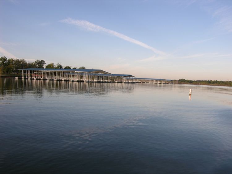
Hillsdale Lake is a reservoir located in the northwestern part of Miami County, in northeast Kansas and the central United States; it is approximately 30 mi (48 km) from Kansas City. The surface area of the lake is approximately 4,580 acres (18.5 km2), and the lake has a maximum depth of approximately 57 ft (17 m).
Contents
- Garmin pro crappie kirby 5 in a row at hillsdale lake in kansas may 10th 2016
- Map of Hillsdale Lake Marysville KS 66071 USA
- Body of man missing since 1992 found in hillsdale lake
- References
Map of Hillsdale Lake, Marysville, KS 66071, USA
Hillsdale Dam, impounding the Big Bull Creek to create the V-shaped reservoir, was completed in 1982 as a flood control project of the United States Army Corps of Engineers. The reservoir has a normal storage capacity of 76,000 acre-feet. No hydroelectric power is generated by the earthen dam. Recreational facilities include Hillsdale State Park, opened in 1994.
Body of man missing since 1992 found in hillsdale lake
References
Hillsdale Lake Wikipedia(Text) CC BY-SA