
Country United States County Miami FIPS code 20-32300 Elevation 272 m Local time Saturday 1:29 PM | State Kansas Time zone CST (UTC-6) GNIS feature ID 0479414 Zip code 66036 Area code 913 | |
 | ||
Weather 1°C, Wind NE at 16 km/h, 76% Humidity | ||
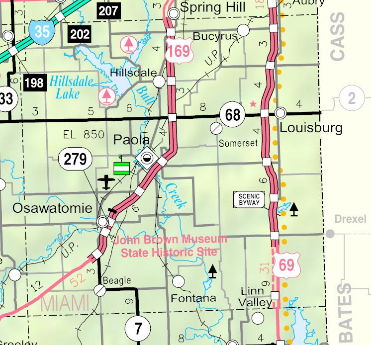
Hillsdale is an unincorporated community and census-designated place in Miami County, Kansas, United States. Hillsdale is located near U.S. Route 169 and K-7 6 miles (9.7 km) north-northeast of Paola.
Contents
Map of Hillsdale, KS 66071, USA
History
Hillsdale, originally called Columbia, was laid out in 1869 when the railroad was extended to that point.
The first post office in Columbia, established in August 1868, was renamed Hillsdale in April 1870, and still has a post office with ZIP code 66036.
References
Hillsdale, Kansas Wikipedia(Text) CC BY-SA